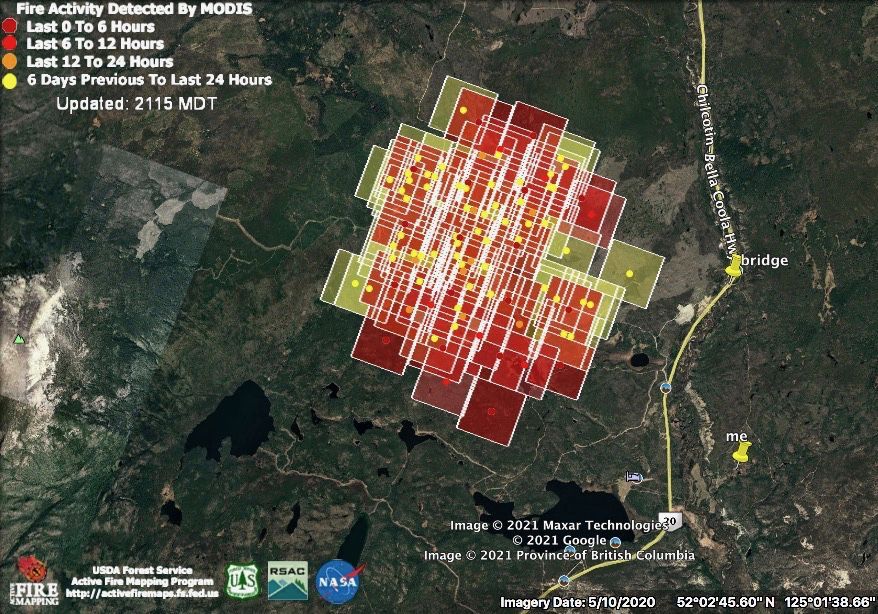
The fire made a small resurgence July 4.
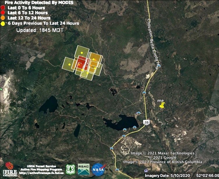
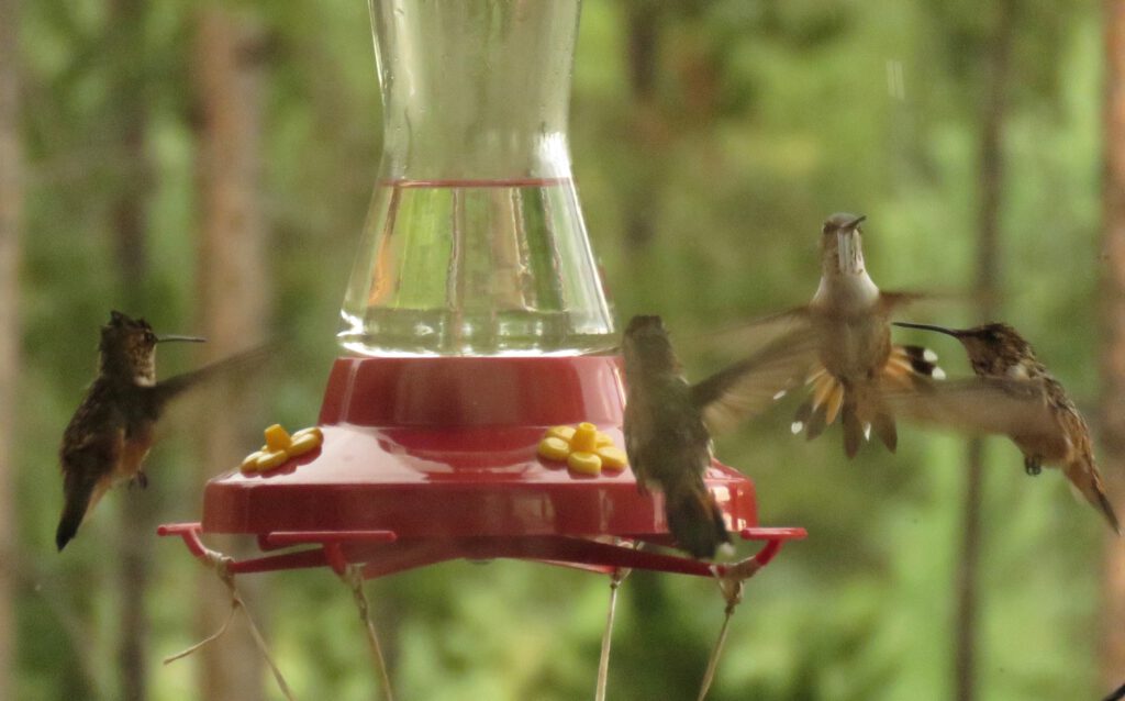
Strong winds were predicted the following day but in fact there was little change. We even got a rain. After a very desultory start, there were suddenly lots of hummingbirds. They must have all just hatched. They got wet!
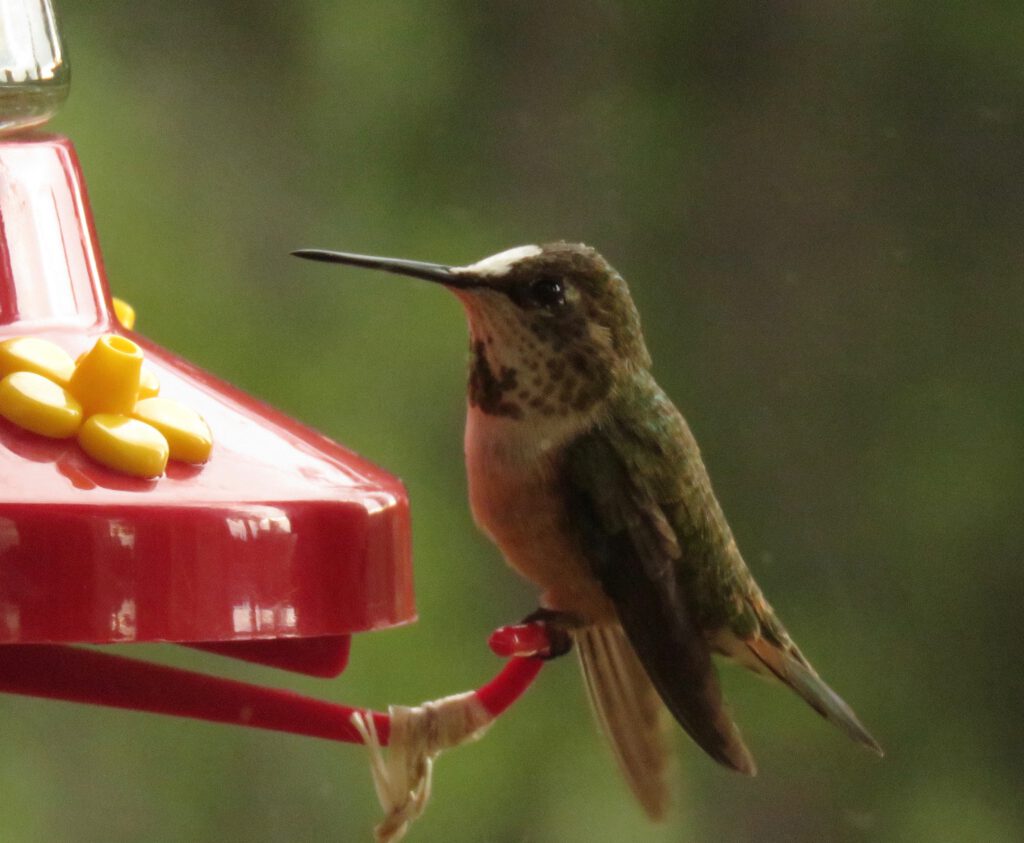
One had a white head.
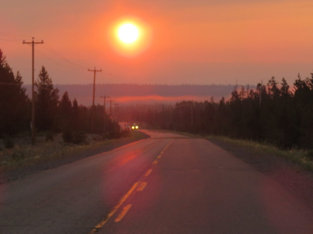
On Friday 9 July I left early and made a trip to Williams Lake, hoping to get in and out before the situation worsened – or other lightning strikes happened. The sun rose about an hour into the drive. At home it had not been so smoky, but further east it was worse.
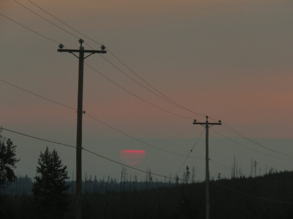
Despite mega ongoing repairs to the highway, and signs saying only 70% of legal axle weight is allowed, logging trucks have started up. There are two in this next picture. (the pink streak mid picture is mist, not smoke.
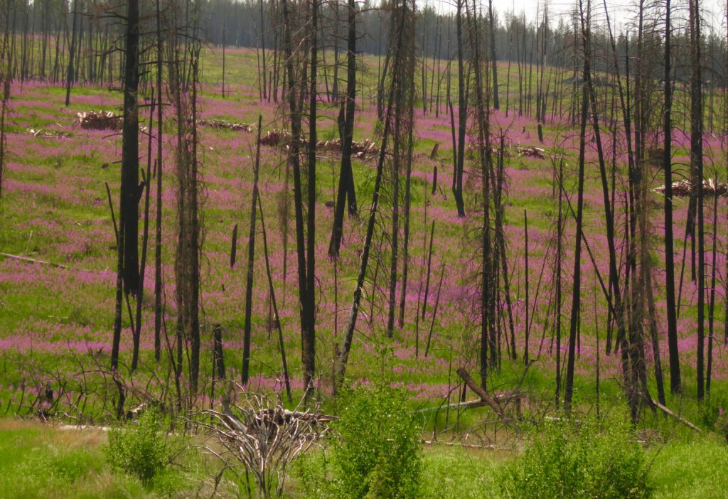
In the areas burned in 2017, fireweed made spectacular displays.
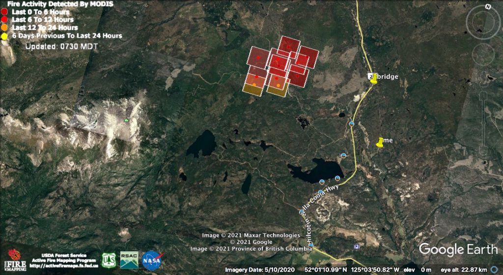
On the 11th, there was suddenly more activity on our fire. The bridge is my access to the highway. It was to be calm the following day, but strong southwest winds were forecast for 3 more days.
That evening I noted big ripples on the pond. There was mama moose with a grown son, already showing antlers. She must not have been pregnant this year or she would have booted him out already.
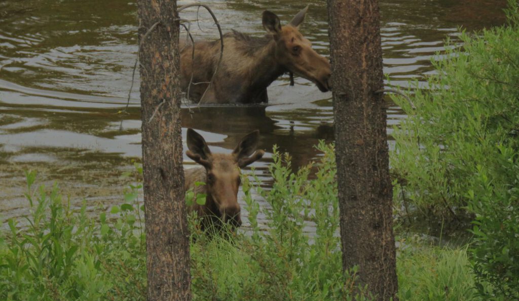
As the sun went down…..
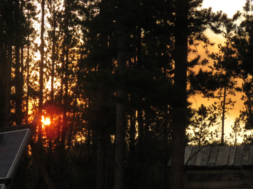
…. the evacuation alert for across the highway was upgraded to an order (which means everyone is supposed to leave.) I actually considered my place much more vulnerable because of the access point and the prevailing winds. But no warning was given by the BC Wildlife Service. Anyway I started putting things in piles and making lists.
At that time I received 60 lbs strawberries from Fred, co-author fo Captured By Fire, at the Precipice.
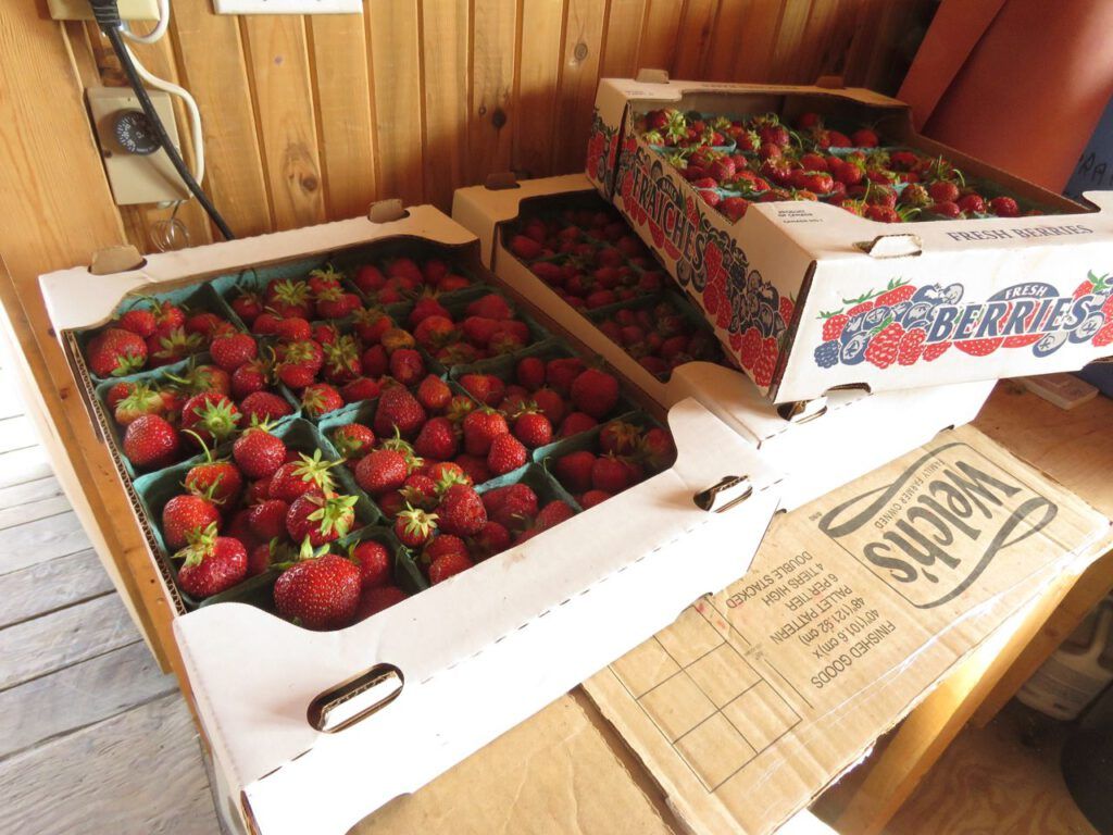
Frantically I processed them all and got the last into my freezer by noon on July 12th. That evening, despite there being no wind, there was a massive expansion, that was obviously very hot.
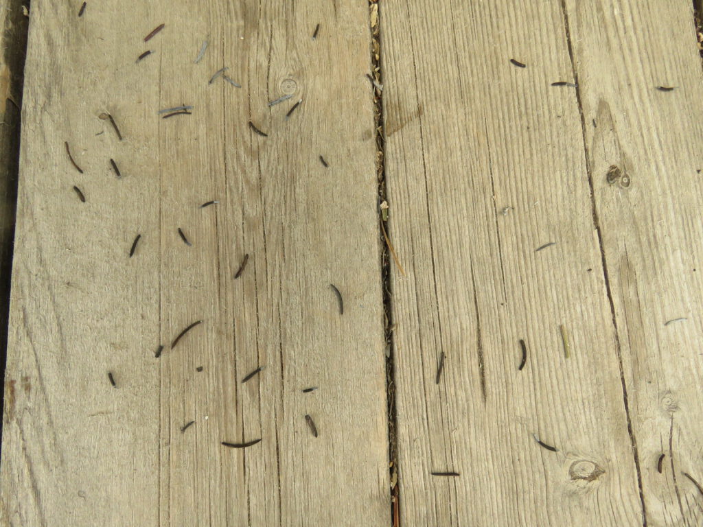
Not much could be seen of the fire, but a rain of small burned needles covered the deck. I can’t think what tree this would be. We have no fir here.
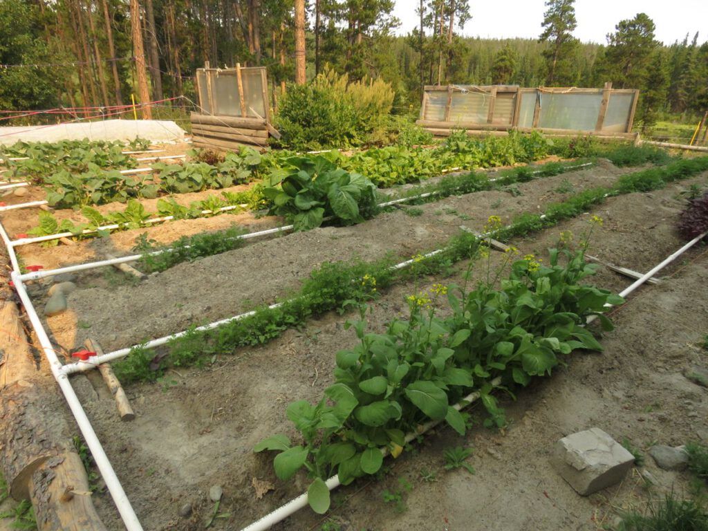
I watered the garden one last time. It is now at its prime.
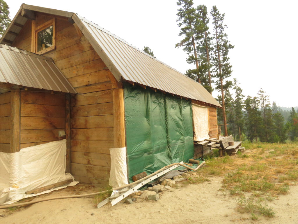
I tarped up the woodshed and other areas where there were gaps.. In 2017 a friend helped me do all this but now I was on my own. (My neighbours, Jade and the kids, were away down at the coast.)
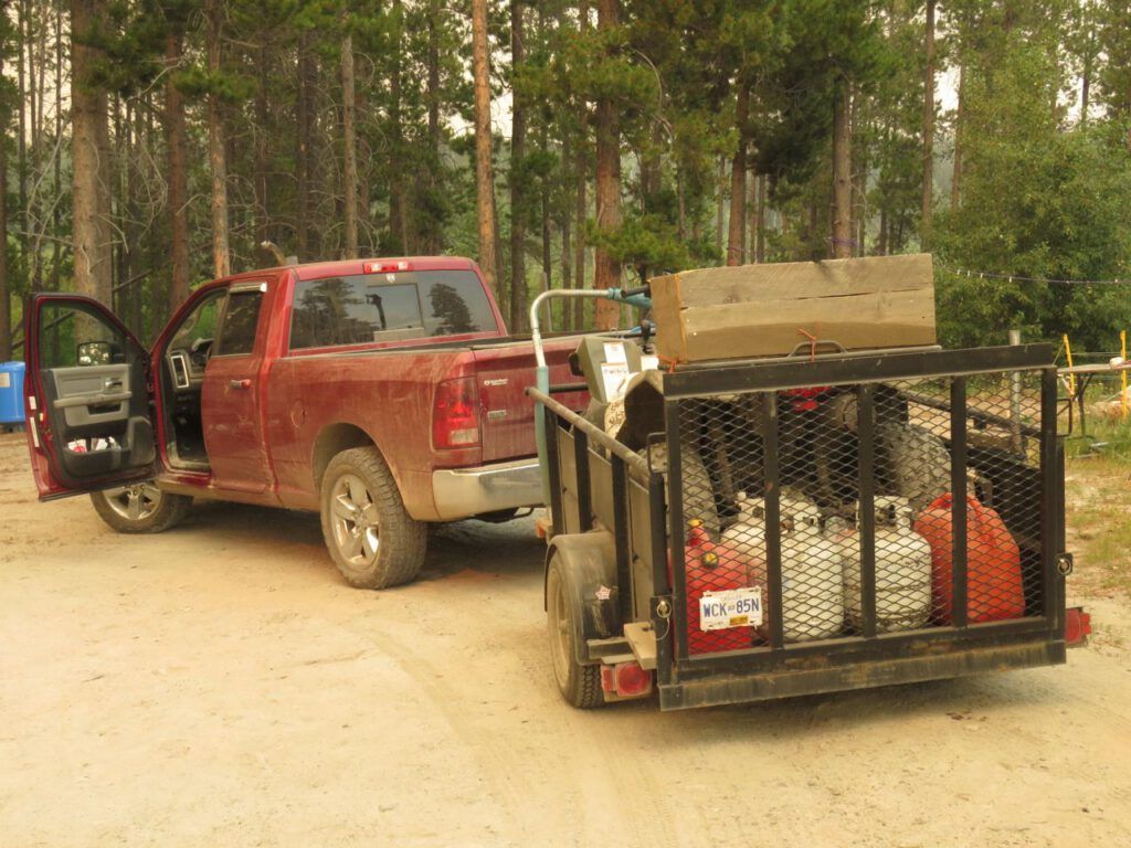
I loaded the truck and trailer. The van would have to stay put.
It was calm and there was no definition to the fire, just an amorphous aura of smoke. Through it, the sun lit up the river.
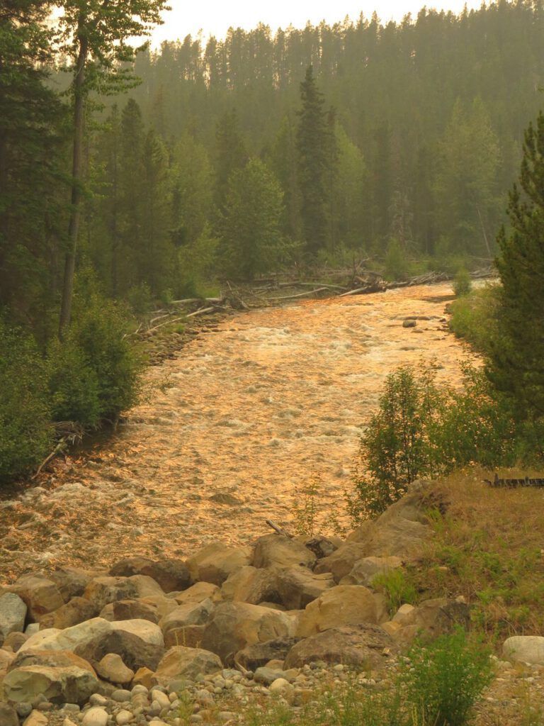
Then the smoke eased off for a while and everything was quite pleasant. But approaching Anahim I could see another fire.
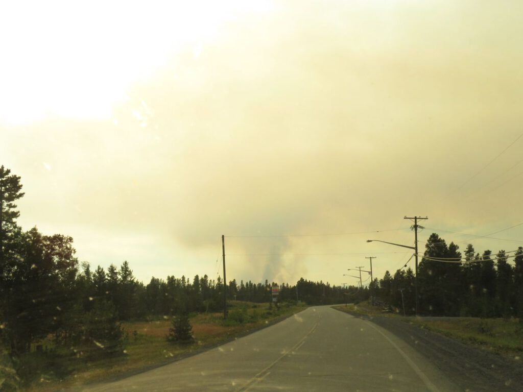
As I drove along, it was hard to decide which side of the road it was on.
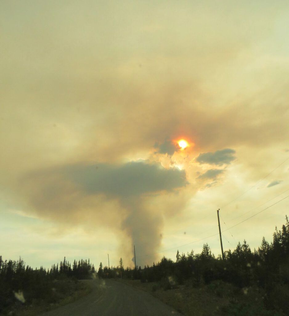
Finally I realized it was the Hotnarko Fire just north of the Precipice. In Anahim, people were talking about being on alert.
As I passed the fire and looked back from the top f the Bella Coola Hill, I could see the pyrocumulus or fire cloud. It happens only with great heat.
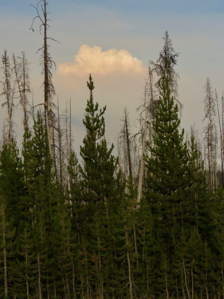
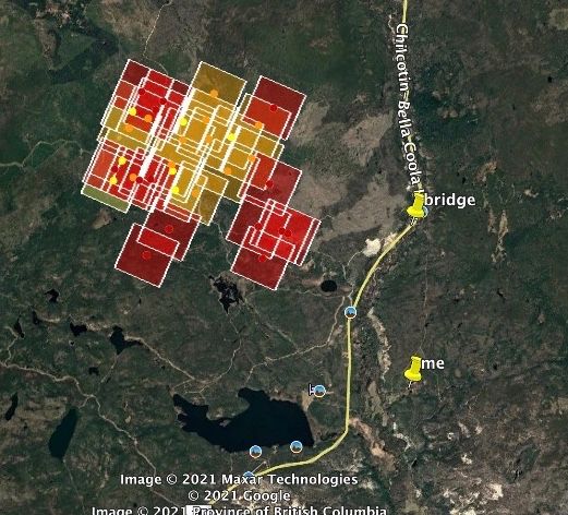
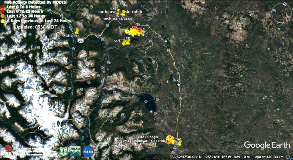
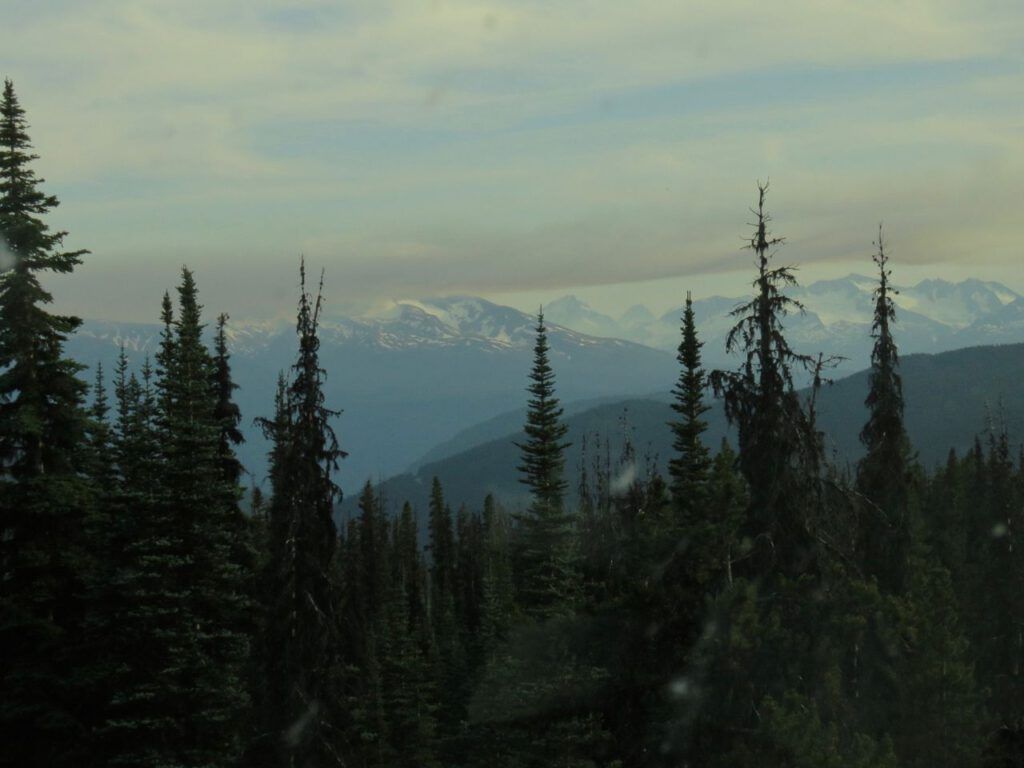
On the above google earth shot, you can see a third fire below my friend’s place. Small and high, but difficult to reach. At the top of the Bella Coola Hill the smoke from it lay in a slab over the mountains.
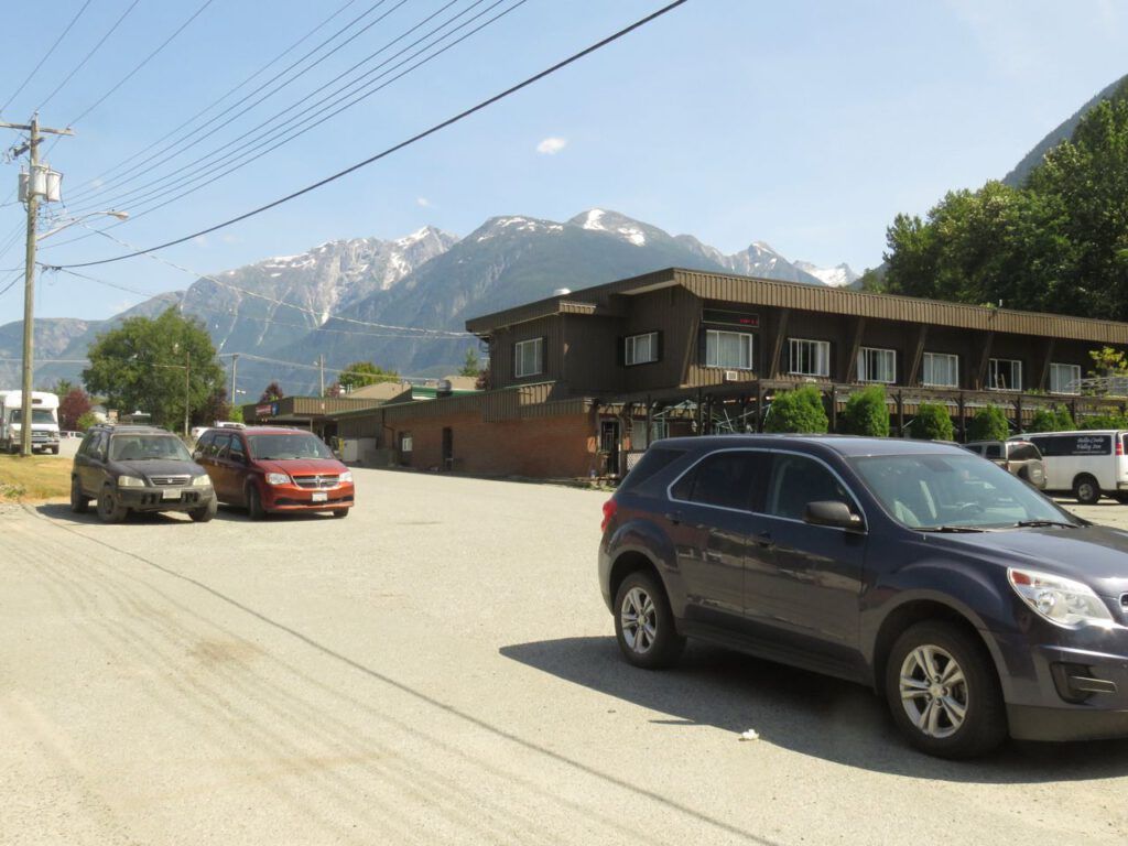
Today the Bella Coola Valley had a nice cool wind clearing away the smoke and modifying the temperature.
But that same wind was flexing its muscles up top, too. Remember the picture in the previous post that Jade and I took from the boat launch on Clearwater Lake?
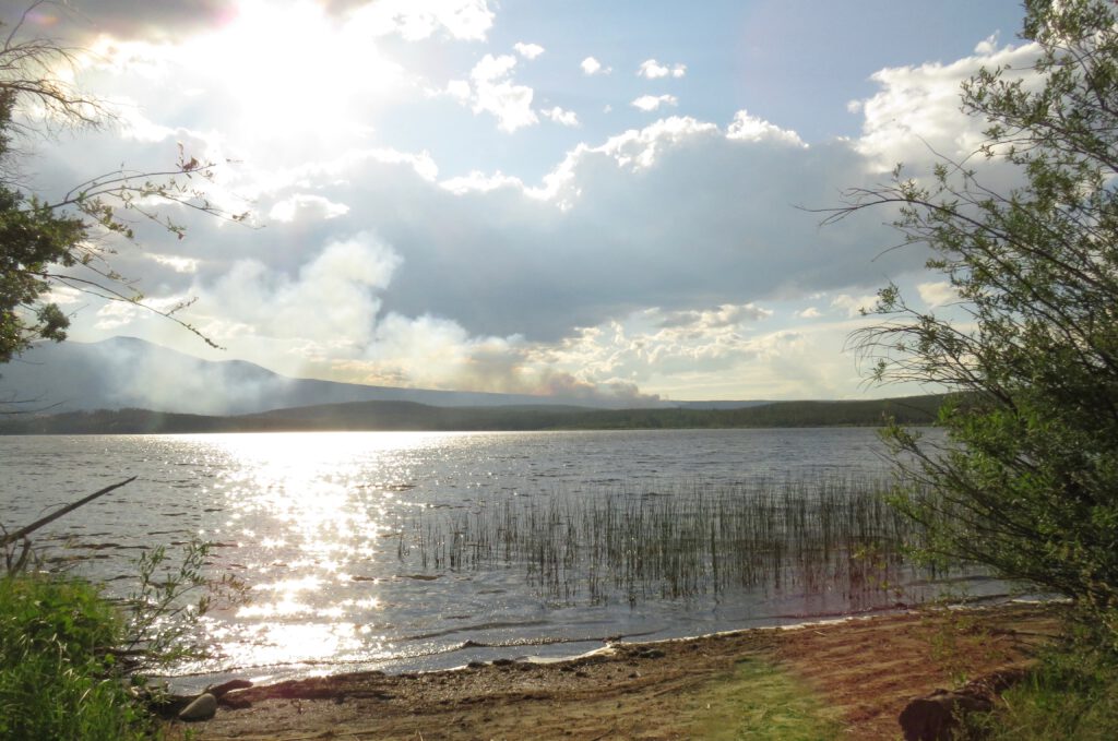
This is what it looks like now.
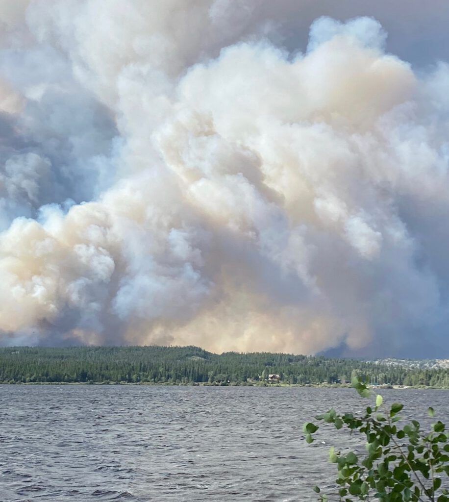
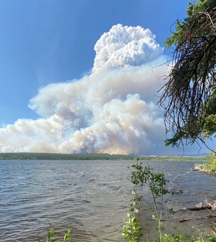
Suddenly the BC Fire Service extended the evacuation order. My place is the black dot closest to the right hand edge a bit below the half way mark. This appeared on the Drive BC website:
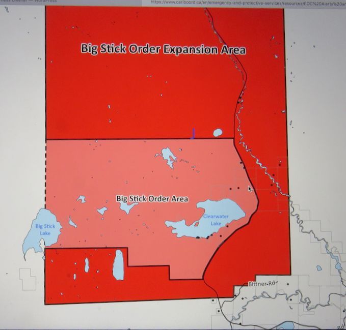
I am told that sprinkler crews have used equipment to protect a couple of ranches, but they might not get into my place as the access is too dangerous.
And this is where I stand at close of play today.
