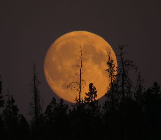
 The full moon rose orange into smoke haze and disappeared in a thick, brown fug before it set. Often, though, it has been clear in the east.
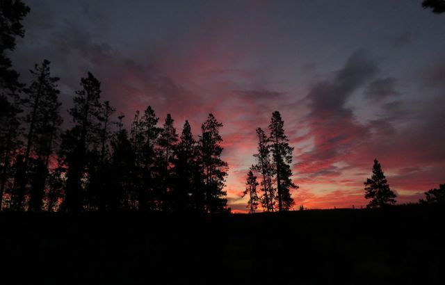 And the smoke has been thin enough in the west in the mornings so that interesting effects are presented.
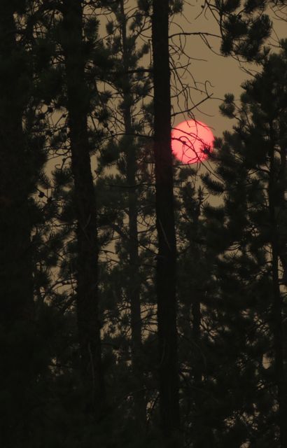
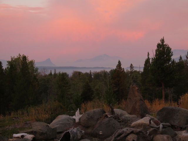 Then we were socked in by smoke for several more days. Back to the red sun mode.
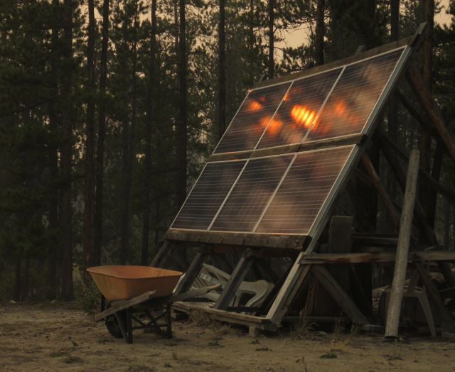
 It made an interesting shine on the solar panels. (The wheelbarrow is set up underneath to act as a rain gauge.)
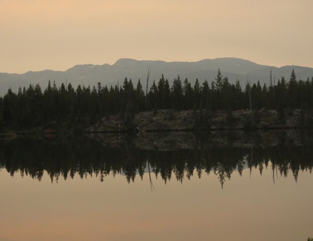
 My pickup truck, trailer and atv were still evacuated down in Bella Coola so I persuaded a friend to come with me to act as a spare driver. We hoped to escape the smoke, but it was almost as bad there. This was at the top of the Bella Coola Hill early in the morning.
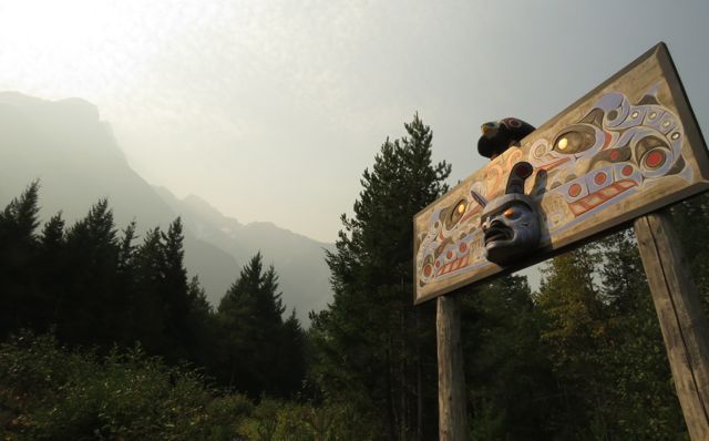
 We stopped at the mortuary pole.
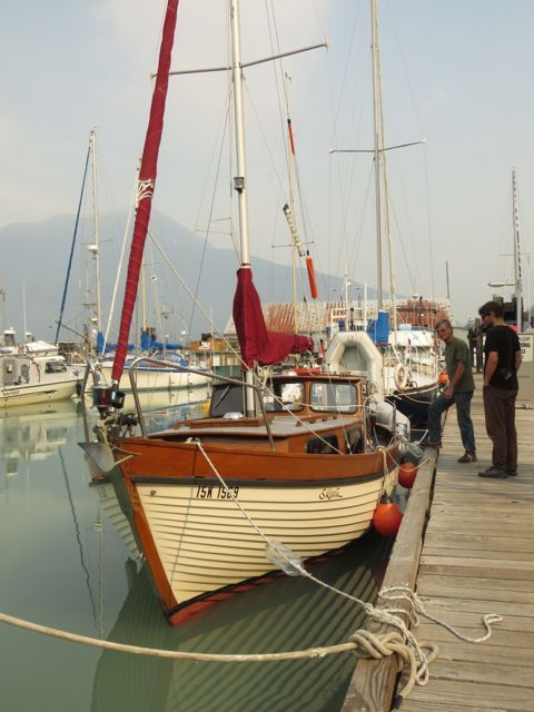
 And visited a friends’ boat in the marina.
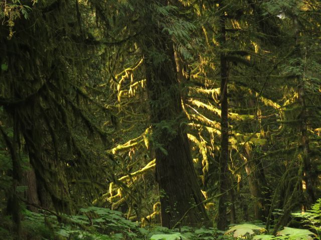
 The filtered sun still glowed through the big tree forest.
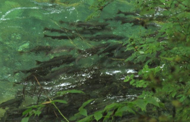
 Salmon spawning was in full swing, and locals said it was one of the heaviest years to date. Despite their dark colour, these are called pinks.
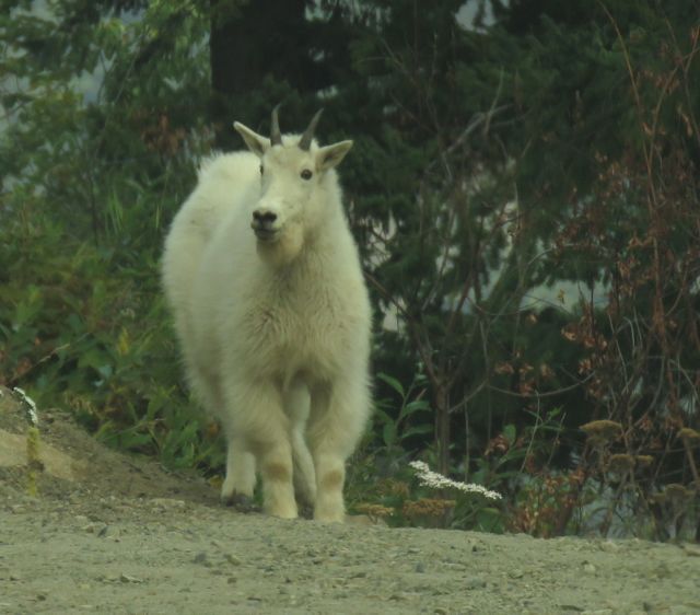
 Coming up the Bella Coola Hill I saw something I have never seen on that stretch of Highway 20 before.
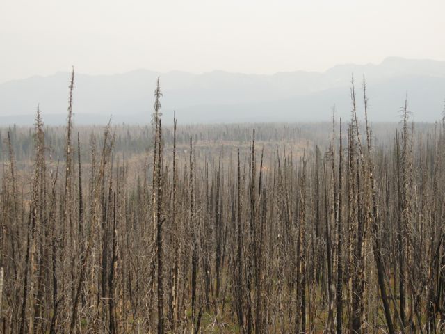
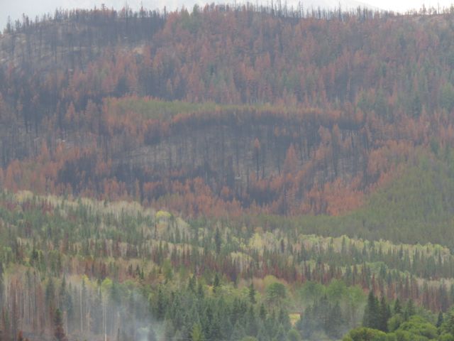
 At the top, the burned forest of several years’ back framed the smoky landscape.
 And then we had rain!!! Anahim and Nimpo Lake, and Tatla Lake, had more than one rain, but there was only one here. However, it was quite a good one!
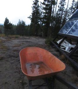 I have a small plastic rain gauge (given to me by the fire people) and it recorded 10 mm. The wheelbarrow registered 30 mm, but I figured the collection area was about three times the bottom area, so that would give the same result.
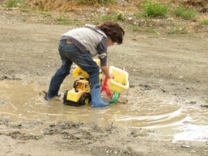
A couple of days later, Tatla Lake hosted the last of four planned farmers’ markets. The other three were of course cancelled. It was quite chilly!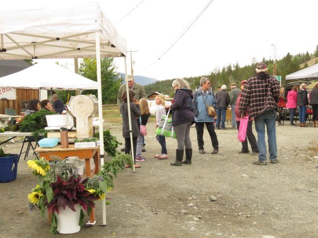 Tatla had had enough rain to put puddles in the yard!
 Driving home, I could enjoy the new colour scheme in downtown Kleena Kleene. The fire is still smouldering at the bottom.
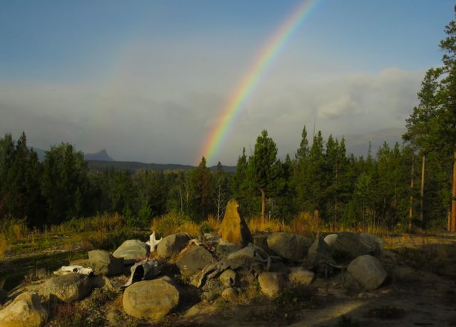
 The following day there was no rain at home but there must have been showers over the mountains because I watched this rainbow travel from Finger Peak on the left, all the way past Nogwon on the right. It graced the sky-scape for over 2 hours.
 The morning temperatures had been ridiculously warm – up to 12C. But now the wind swung to the north. The sun shone through gaps in the clouds and made sunbeams through the smoke. Little fires are puffing merrily on Finger Peak’s flank.
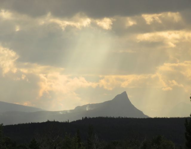
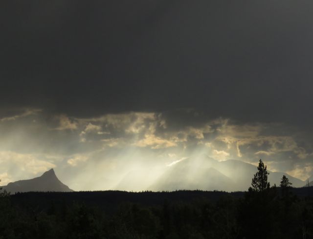 The northerly airstream blew the smoke towards Middle Mountain.
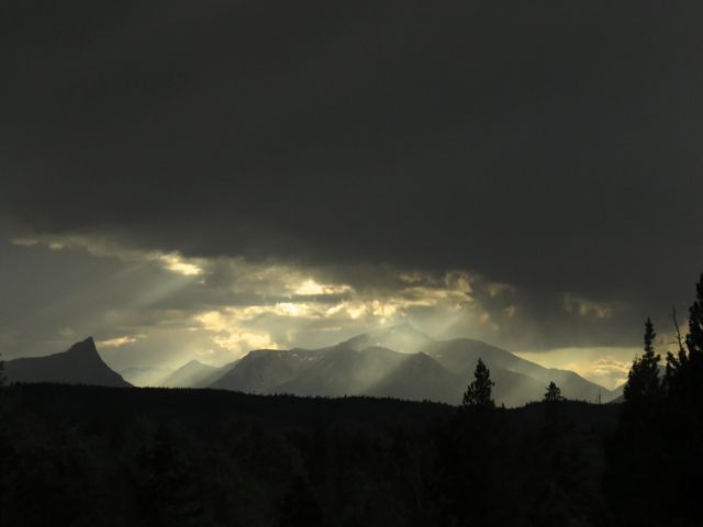 The following morning we got a sunrise!
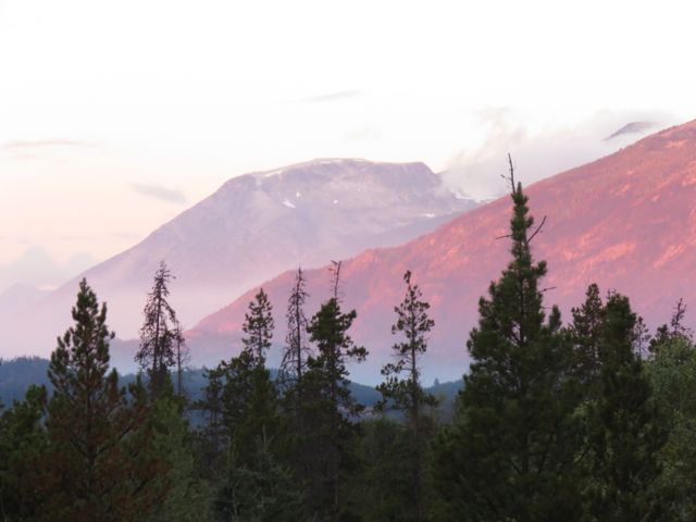
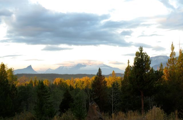 The temperature had dropped to -7C overnight. The kale got frosted.
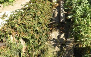
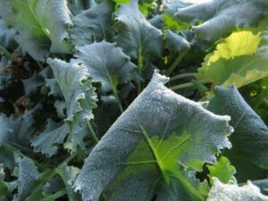 And the potatoes got absolutely blasted.
 And there was the first dusting of snow on the mountains.
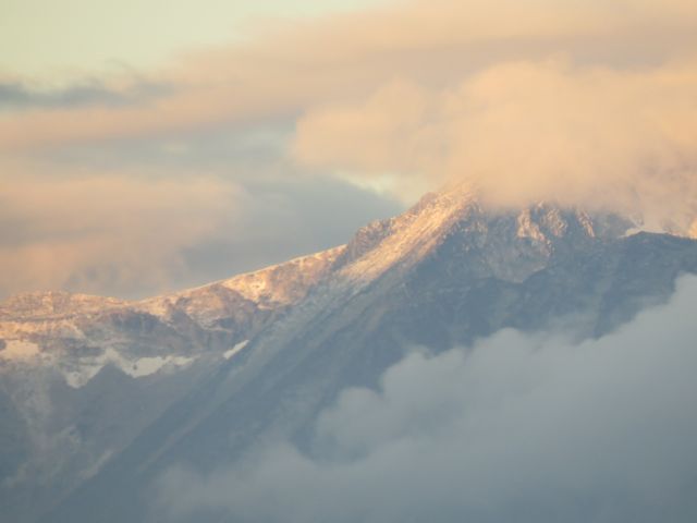 However, it was a most gorgeous day for a hike. It was so amazing to see everything so clearly. It’s not so obvious on the photo, but the whole flank of Nogwon on the right is brown. Most remaining fires are considered non-threatening and they will be allowed to burn.
 The lake in the above picture is just to the left of Highway 20 near the top of the map.
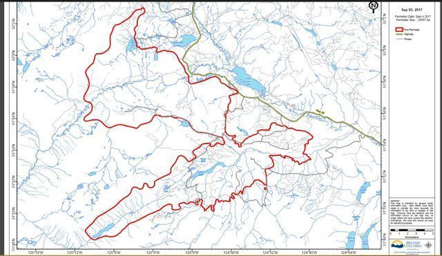 However, water bombers were working at the easternmost end of the fire, where it still has potential to be a nuisance. The mountain behind on the next photo is part of the Niuts near Tatla Lake. It always has more snow than the peaks closer to me, even though some of mine are higher. The burned ridge is the long south/west – north/east finger of the fire
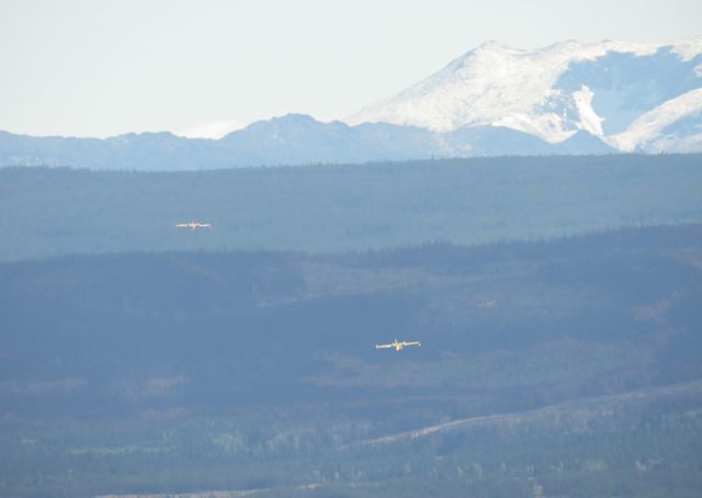 These are not the same planes I saw before, which were tankers that had to be filled on the ground. These guys were Canadair amphibian skimmers.
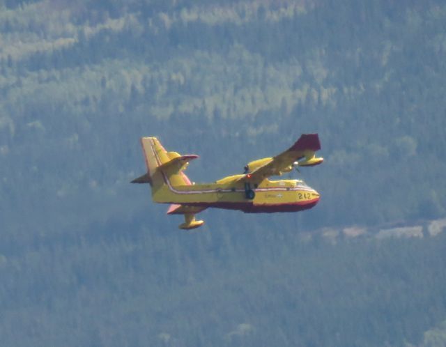 They were dropping down to One Eye Lake where they could scoop up a load of water in 10 seconds.
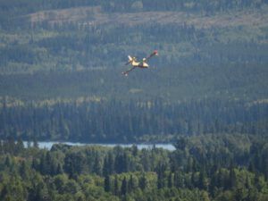
 And off they went towards the fire. You can see it smoking beyond the burned ridge.
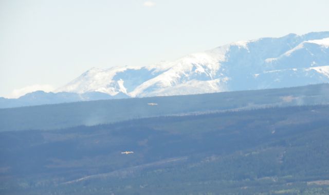 These guys flew round and round for several hours. Although I could not see them once I arrived home, I could hear them droning then swooping with their distinctive diving sound. They would not put the fire out; mostly they are used to keep a fire at bay while ground workers secure the fire perimetre.
Our two days of brilliant weather is not to last, though. Today the wind has changed again and the view is back to normal.