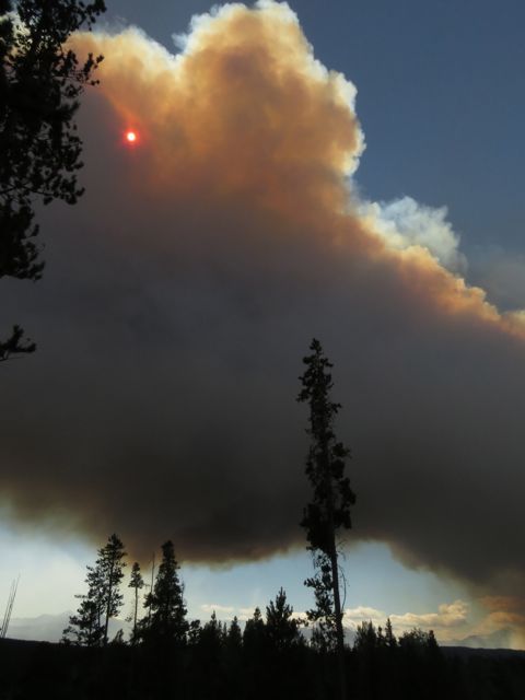
 On 16th August, the Kleena Kleene Fire Exploded. I had been watching the north end of the fire grow for some time.
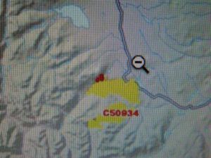 Finger Peak is close the the left end of the top yellow blob. The cursor is more or less on my place. Five weeks ago, right at the beginning of the fire, a bit of work was done in there. About ten days ago, there was a fire meeting in Tatla Lake (about which I knew nothing: I heard about it afterwards) and people were told that this end of the fire was under control. Anybody with half a brain could see the potential danger of this fire. If strong southwest winds started, which they well might do, they could blast the fire right to the highway in no time. Plenty of work was being done at the south end of the fire, but I never heard about a fire guard being made, or heard helicopters dumping water at the north end. The fire was fairly well contained at first – until it crossed the Klinaklini river. There was good tall green timber in that bottom land, and in the above Modis shot above you can see that it has started to ignite. Green timber burns much hotter than dead trees.
On 16th August, I could see the fire starting to build.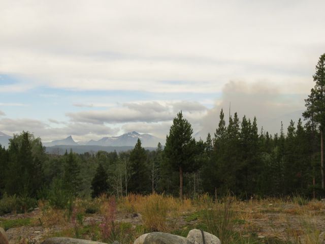 Finger peak is southwest of my place. If the wind veers a point or two to the west, the direction of the smoke changes. Sometimes it is blowing one way at ground level and another higher up.
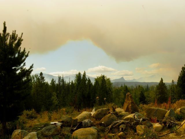 By four in the afternoon it was looking very dramatic.
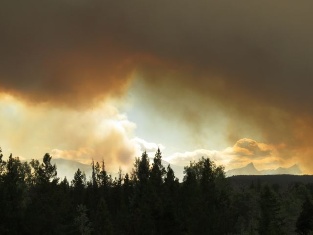 The fire complex was also starting up in two or three places – note the one to the left of Finger Peak. The next pic shows the smoke from the south end of the fire.
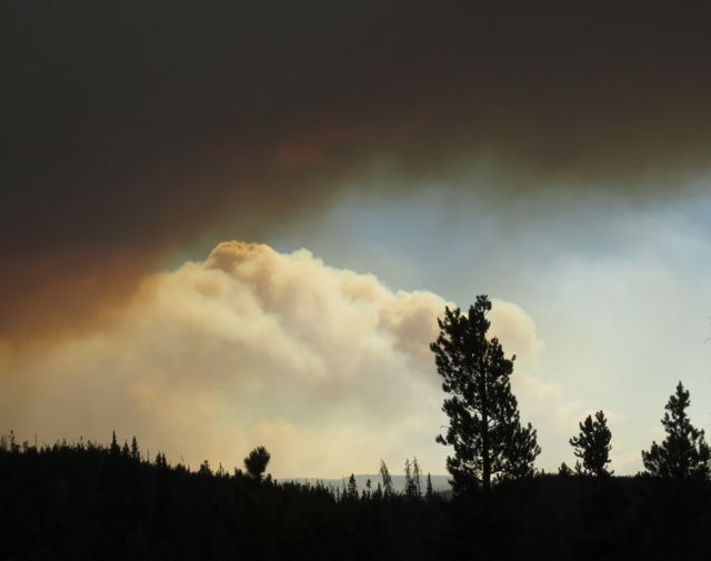 Once again I was really scared. The north part of the fire was much more dangerous to me than it had been so far. Even if my place was spared, I worried that my escape route to the north would be cut off. But if I left this time, there would be no coming back until the Order was lifted. There were too many cops patrolling the barriers.
This is what the fire now looked like on Google Earth.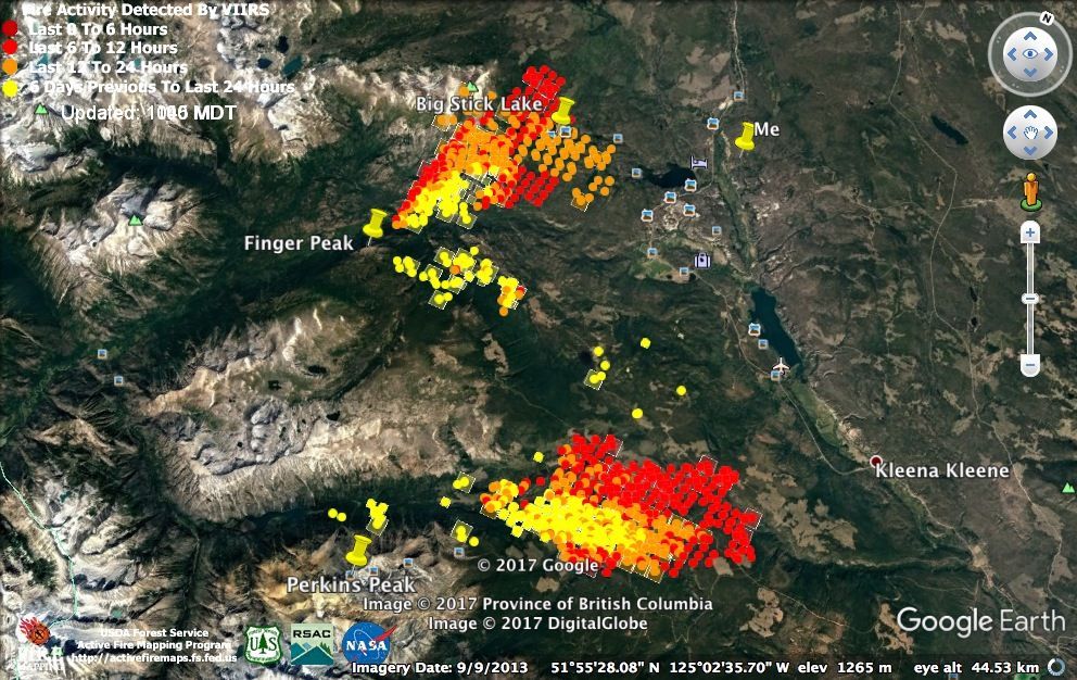 I packed ready to go again, but when the wind eased a little in the evening, I decided to hang in there. I tied the dogs up inside the house – didn’t want them to be chasing a bear if I wanted to load them in a hurry. Harry hates to be tied – he has come to learn that the packing and forcing him into the van means living life on the end of a rope and he doesn’t always want to get into the van anymore.
Calmer in the morning, but the forecast was for several days’ more west and southwest winds. I gave the garden a thorough watering and picked vegetables for my flight. It is almost impossible to buy organic food here and I really rely on my garden. I am eating chard, beets, carrots, peas, kohl rabi, turnips, kale and salad. (The watering is all under ground so the top looks a bit parched. The brownish tinge is of course smoke.)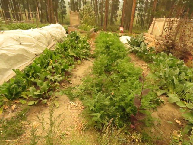 I was feeling very sorry for myself at the thought that I might have to abandon the place to fate. Then an SUV drove into the yard. No insignia on it, but it was a cop. Instead of the usual grumpy male, this was a lovely policewoman from Saskatchewan who was just checking to see if I was OK. Most of the cops are here for a week only so when a new batch comes no one knows their way around again. Anyway, this person came inside and I showed her maps and told her where the neighbours were.
I have to backtrack a little to tell the next part of this story. One of the emails I had received that morning (the only non-fire email) was to tell me that, although it is not in the bookstores yet, Harry: A Wilderness Dog Saga, is already #6 on the BC Bestseller’s list! The policewoman loved the dogs and I told her this – she wanted to buy one! So Harry has sold his first book! (I won’t be able to handle any by-mail book sales until the road restrictions are off and the post office is open again.)
Another thing I had been trying to do was find out how to get hold of the people organizing the structural protection units who set up sprinklers and the like. I phoned the Tatla “command centre.” No answer. I phoned the Williams Lake emergency centre. She didn’t know but put me onto the Puntzi fire centre. (Puntzi Mountain is 100 km east – it used to be an air base and it is where our weather forecast comes from. Its runway is long enough that water bombers can be deployed from there. Turns out that the east end of our fire is controlled from Puntzi, but the west end is controlled from a camp on the mill site in Anahim Lake. The guy at Puntzi said there was no phone at the camp. I thought that a bit crazy, and was trying to think who I could ask to drive over to the mill site and contact someone. Then the police woman arrived. She said she would find out – and within 40 minutes, a couple of guys from the protection unit came to assess. So at least they now know I am here.
That made me feel better and, since early morning, I could hear heavy machinery working. As the smoke lifted off the fire, I could hear helicopters bucketing. The wind was not quite so strong that day, except towards the evening, and I felt emboldened to go onto the south bluff to see what was happening. Modis showed a big increase in fire activity.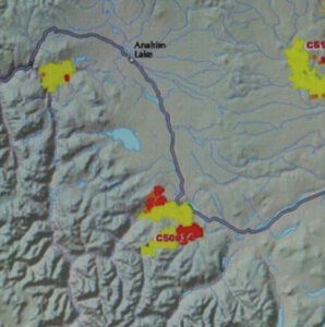 The clouds indicated wind and they made interesting effects with the smoke.
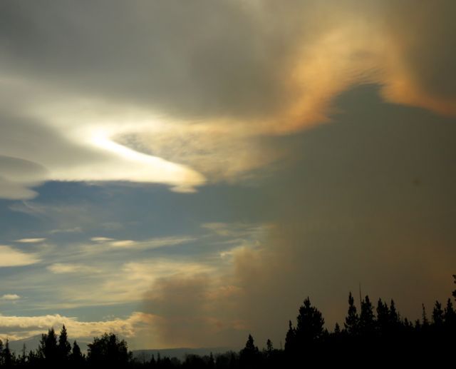 Finger Peak has fires to the right and to the front.
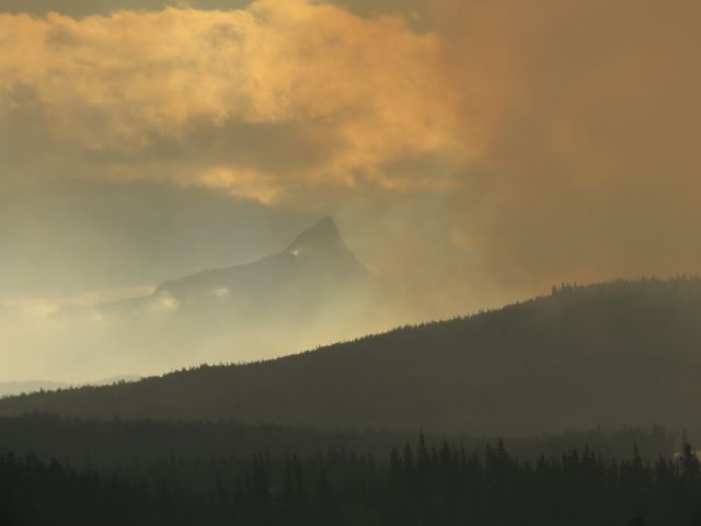 On the bluff, I could just see the lake across the road gleaming copper in smoky sunlight. Finger Peak is very faint but it is just to the left of the main column of smoke.
 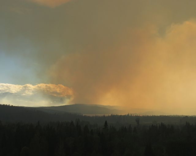 Christoph’s Terra Nostra Guest Ranch is on that lake and I phoned him later. He and his wife are staying to look after their horses. He was away firefighting all day with locals, and he was able to tell me that the fire in fact travelled north that day.
Today’s forecast was for winds that were stronger than ever. The sun rose in an east that was only slightly hazy.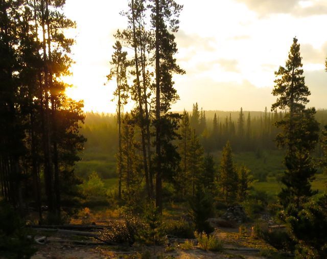 But it was very warm – 10C, when it is normally around zero. Abnormal warmth is never a good sign. The flag-o-metre was tossing about very early.
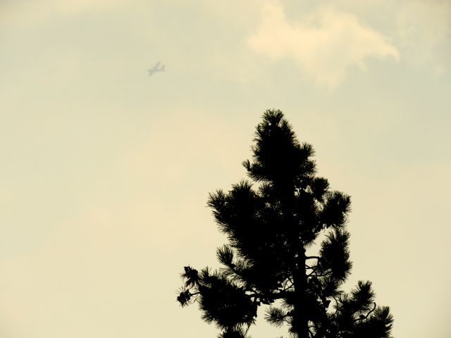
 A cold front was coming through. It was slated to take about a day and a half to cross the Chilcotin. Kleena Kleene is 100 km west of Puntzi, I hoped that the worst of the winds would be over before the end of the day. At first all the fires started up as per usual. I could hear no flying around the north fire – possibly the wind carried the sound away – but there were machines along the road somewhere and after a while the south end was bombed. At least 2, maybe 3 planes circled round and round like crows around a dead deer. How they can be safe and accurate in all that smoke and turbulent air amazes me.
 The wind turned a point or two to the west and blew the smoke from the north fire to my left. The gusts were suddenly much cooler. You must be getting awfully tired of smoke pictures.
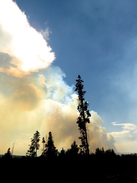 And now, mid afternoon, I do believe that the wind is easing off. The smoke is dissipating and dropping. Gusts still rattle around the building and they will be of concern for a while, but I think the worst is over. Google Earth seems to have died again. It’s been very intermittent. I guess too many people are trying to use it.
Tomorrow is supposed to be calm.
