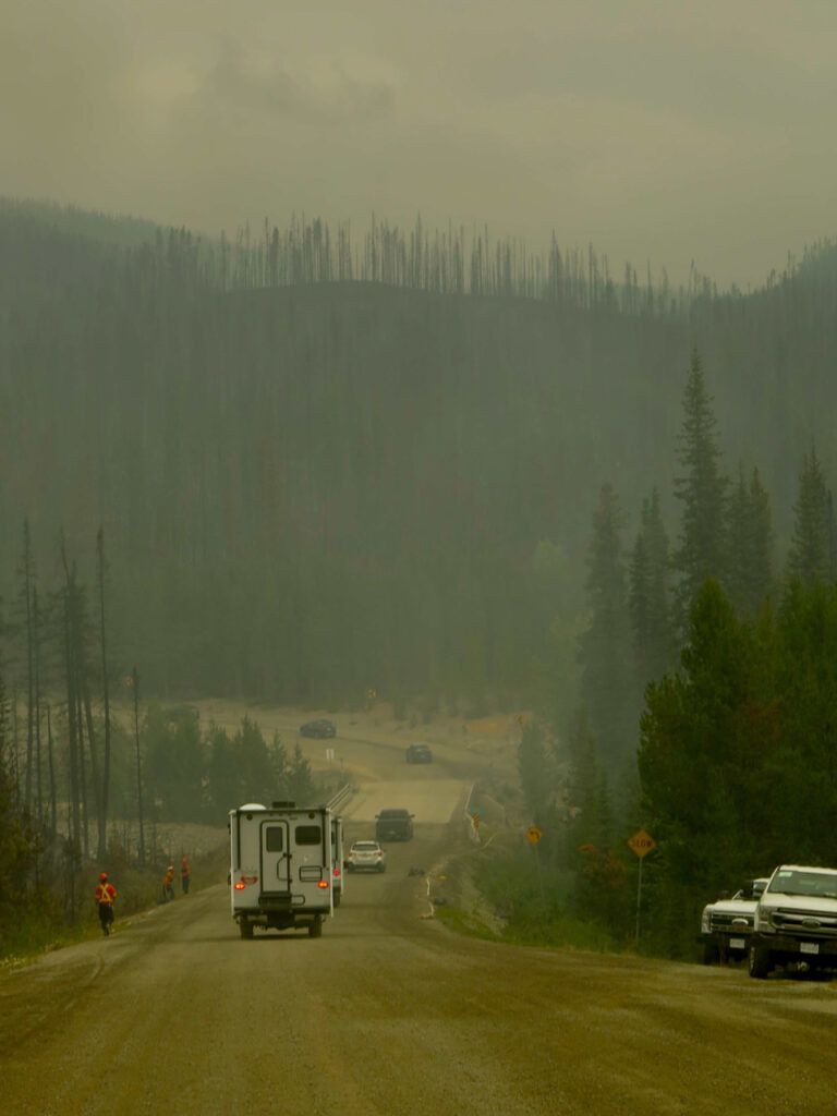
Two days after Highway 20 was closed on the Bella Coola Hill (see previous post), an attempt was made to get people through with a pilot car. For the most part, the road is narrow and winding, often single lane. Ironically, the only relatively straight, wide stretch suitable for the passing of two convoys was at the fire area. So a line of cars was piloted to the top, and then another line was piloted down. Took about an hour each way. Stupidly, the piloting did not start until 10:AM. By then the wind starts to stir the fires and naturally the Hill was closed again soon. There were many visitors to the Valley because of the music festival; here is a picture taken by one of the band members on his way out.
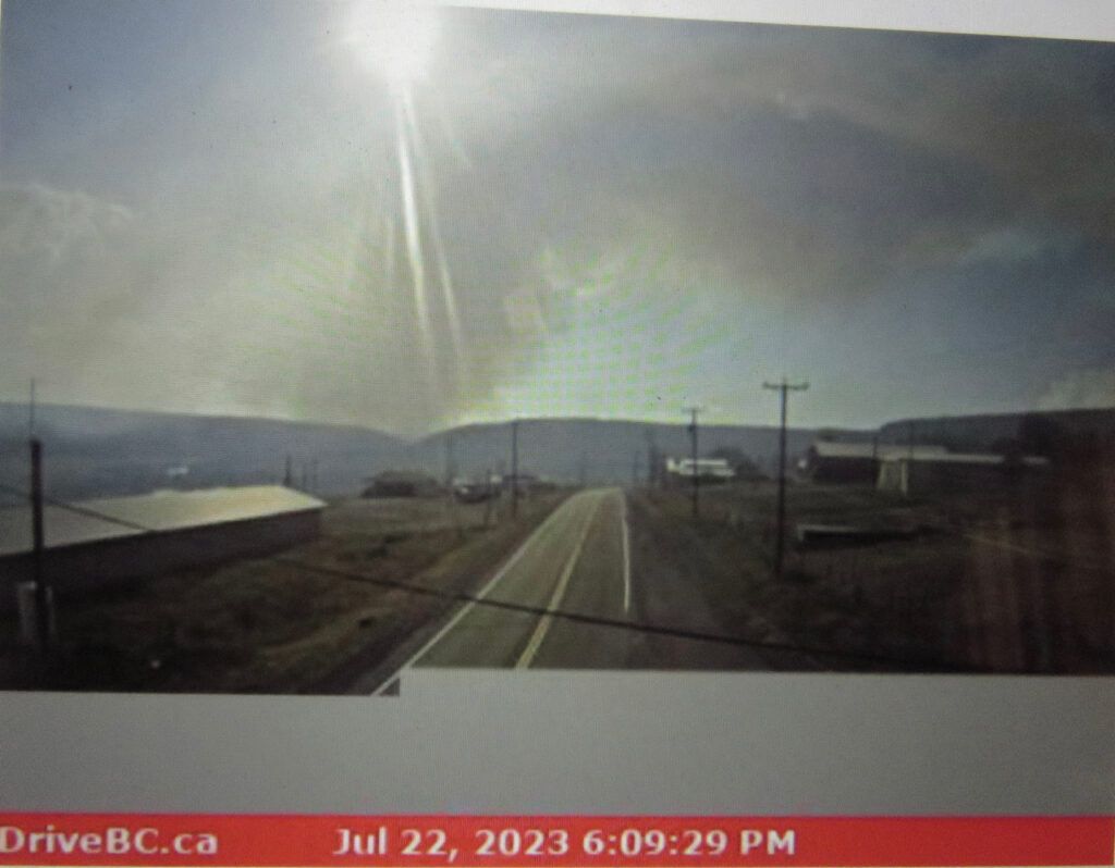
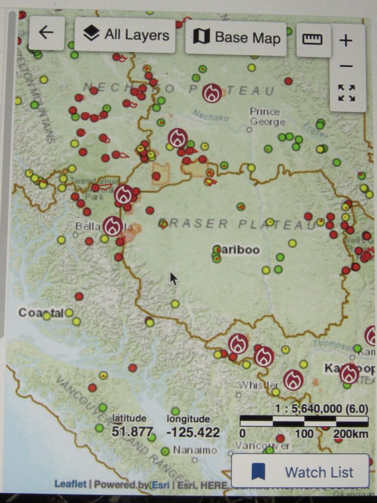
Foiled at going to the music festival, I now wanted to try and get to Williams Lake. On July 22, BC Wildfire Service noted new lightning strikes. On the following map, I live more or less where the cursor is. The “C” of Cariboo is hidden by a row of new strikes – so like the ones not far away in 2017 that nearly stopped me from getting home. (See : Captured By Fire.) As in 2017, these fires bracketed the highway and I was sure the Highway would be closed in that direction, too. The webcam at Alexis Creek, east of the fire, shows the smoke at sunset. I wasn’t worried about getting to Williams Lake, only worried about getting home the same day.
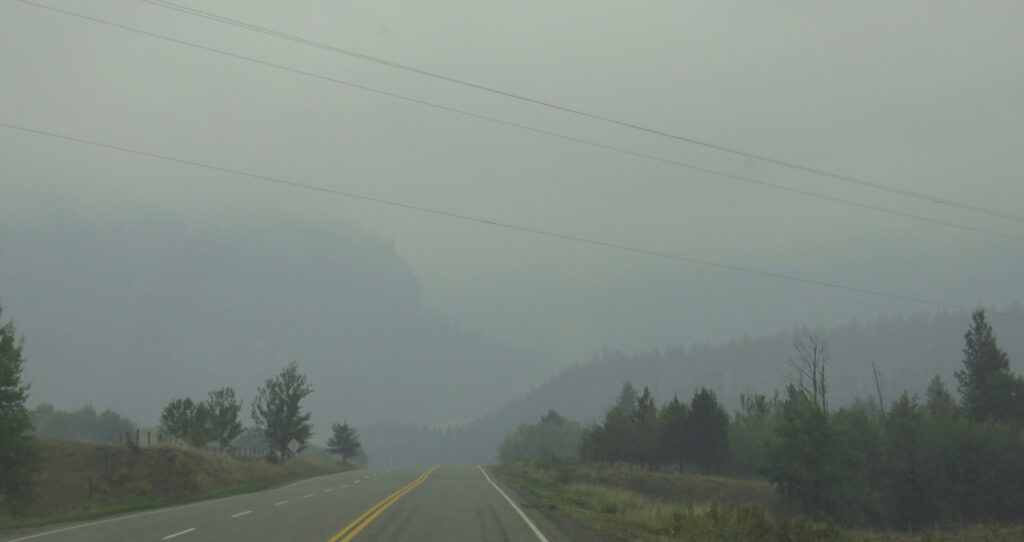
Two cooler days with possible rain were forecast. So on 28th I took the risk, leaving early. Smoke always hangs low on a windless morning, and this was the case through the fire zone.
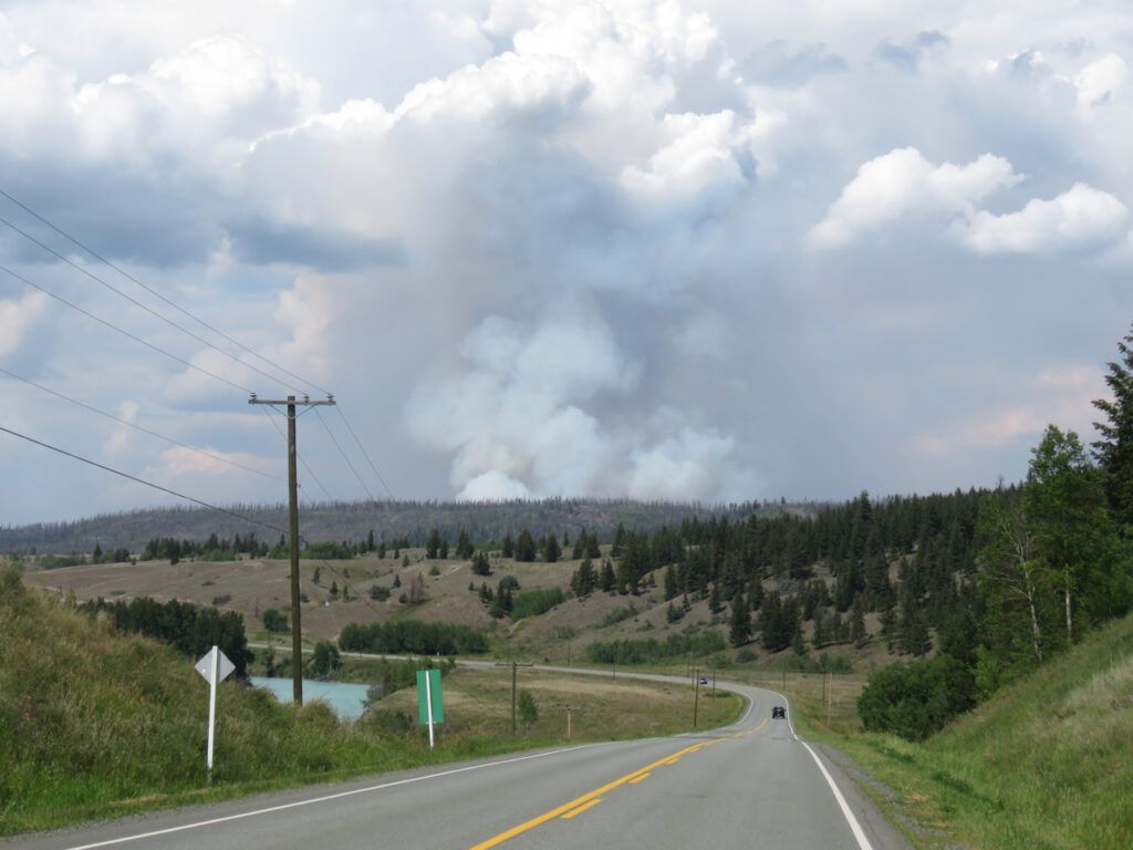
Coming home, though, the smoke had cleared although there was still a considerable amount puffing up from the fire north of the highway.
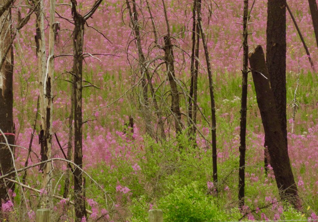
The nearby 2017 burn was displaying a wonderful show of fireweed.
In the mean time, the Precipice was put on Evacuation Order because of the fire that had started near Lonesome Lake. The cursor is on the ranch. As the inhabitants stayed put during the far more serious fire of 2017. (See Captured by Fire) I didn’t imagine that anyone would leave. In fact, since that time, the weather has stayed cool and even rainy in places, although very little fell on my property. The Precipice is STILL on Order as I write on August 11, which is a bit of an overkill – it is now the only place in BC under that designation. The Bella Coola Hill fire is to the left.
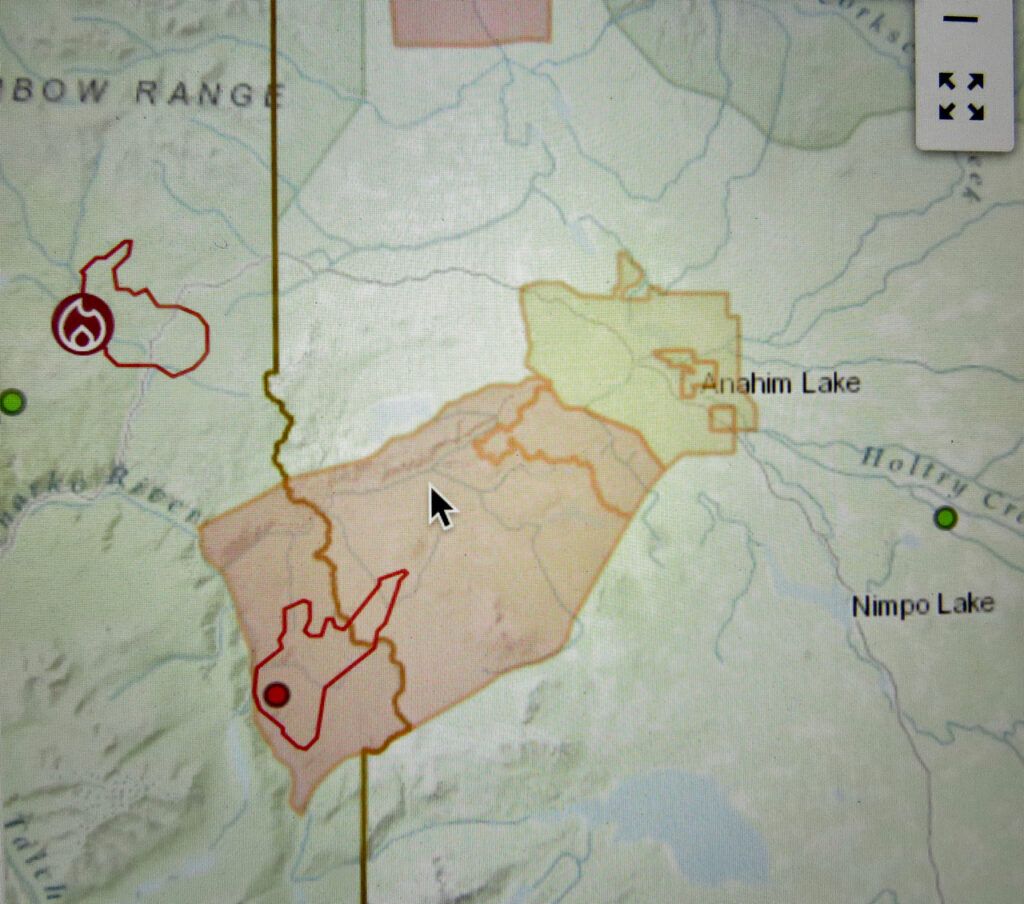
That fire seemed to have died down and now the Highway was open 24/7. I was anxious to make a trip down there to pick a winter’s supply of blueberries. So on August 1st, I took the plunge.
I left early as always and an hour west I got a good view of Mt Anahim (which is a world heritage site, being a famous repository of obsidian, a valuable stone for making tools). Although the sun was still low, I was amazed to see three smoke columns towering into the sky. The fires must have been very hot to be sending smoke so high at that time of day; the left hand one is topped by the thunder-like pyrocumulus, which again indicates extreme heat. These fires must have been 40 or 50 kilometres away.
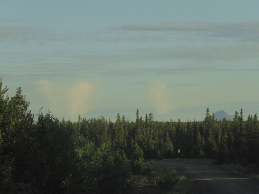
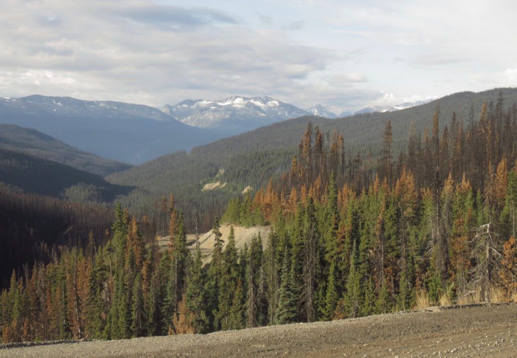
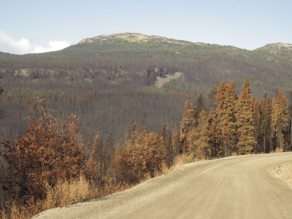
I knew the Bella Coola Hill fire had been quite extensive, but I hadn’t realized it had reached Heckman Pass at the top of the Hill.
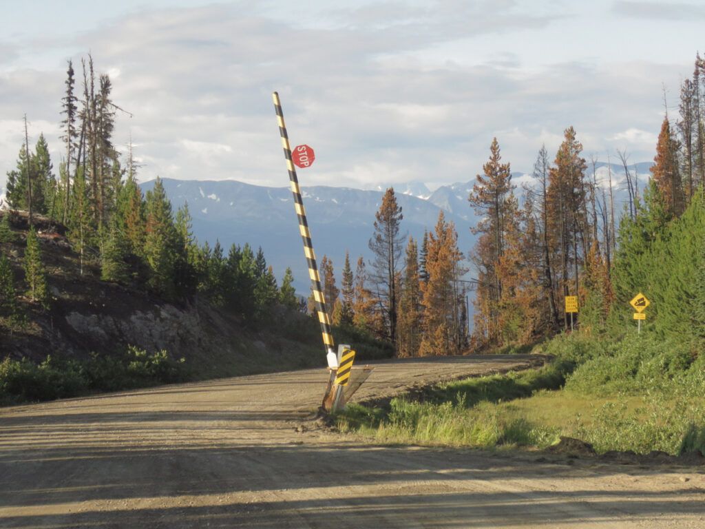
However, apart from a tiny wisp of smoke near the source, the fire was out. All new fires are dramatic, though.
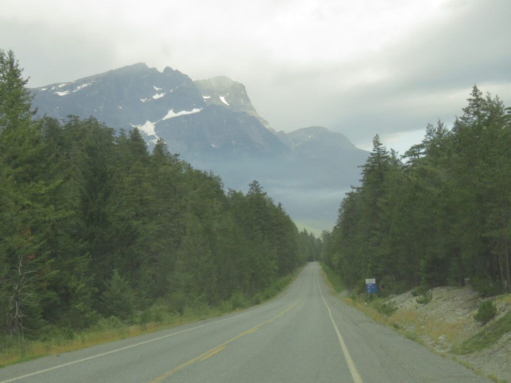
Smoke was drifting about at the bottom of The Hill
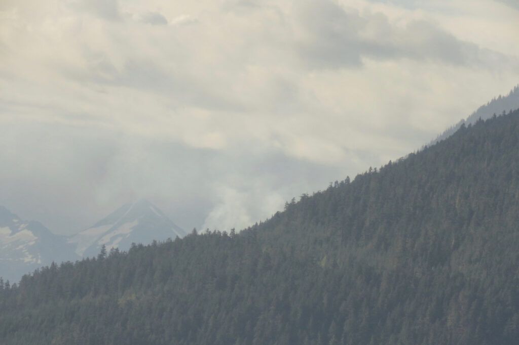
This was from the Melican fire, right opposite my friends’ place. It is not very big but I don’t think it has been fought.
But all was well down the Valley. There had been a big dump of rain during the night, and several hours later I was able to return home with a large swag of fruit. Going up the Hill, one has a different perspective of the burn. The silvery trees are from the decade or more old beetle kill infestation. Fires always seem to prefer green trees.
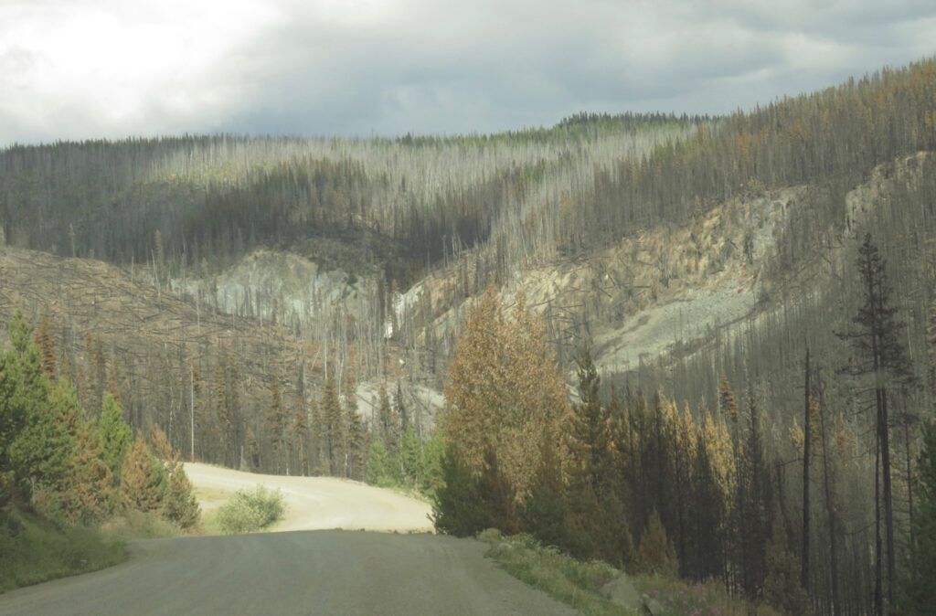
The weather is often different once one crosses the mountains. Thunder had been forecast and right in front was a big, black storm.
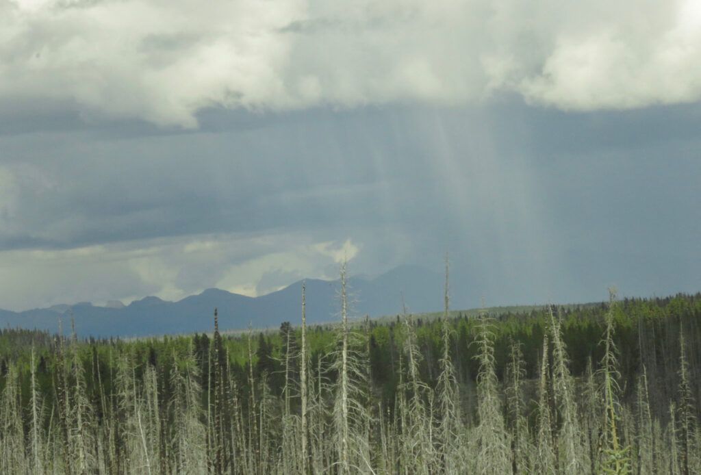
Closer, it separated into several storms. This one was a perfect entity all on its own.
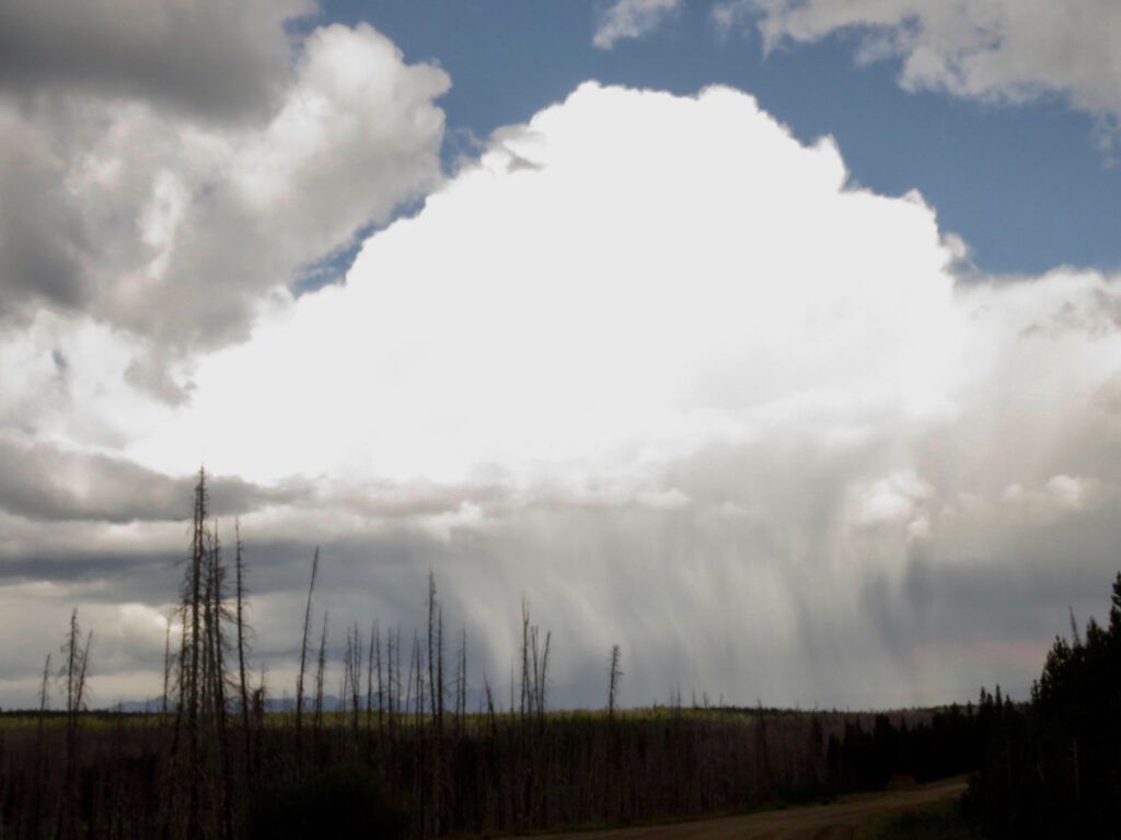
I suspect the white streaks coming down are hail rather than rain but the road avoided it so I can only guess. To the right was a rainbow.
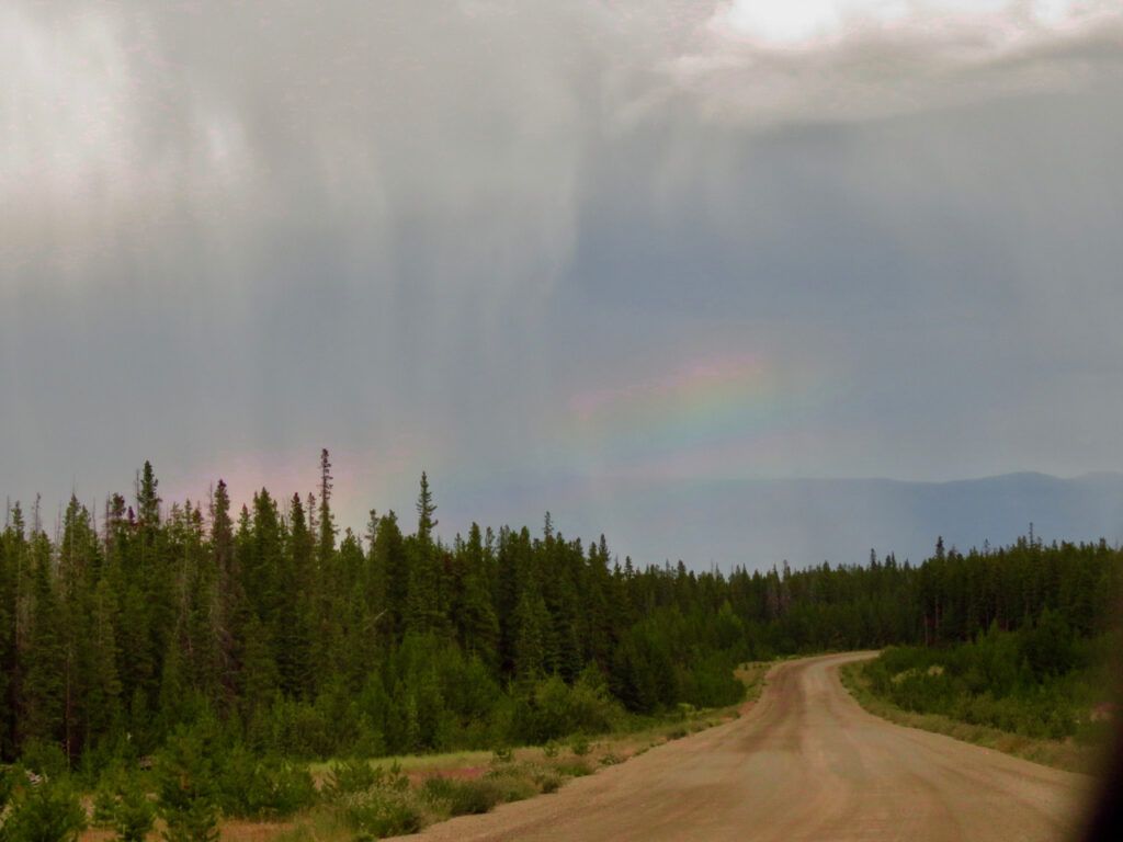
The highway was wet in one or two places, but my place was as dry as a bone.
Hot weather was forecast for shortly after, but it didn’t materialize. It has stayed cool and damp, and the fires have calmed right down.
Throughout all this horrible heat and fire and floods all over the world, we have had an easy summer so far. It was scary in May when it was so hot so early, but if anything, the temperatures have been below average since then. After the weekend it is supposed to get hot and we’ll see what that does to the fires. But the nights are much longer now and I can’t see my area having too much problem.
