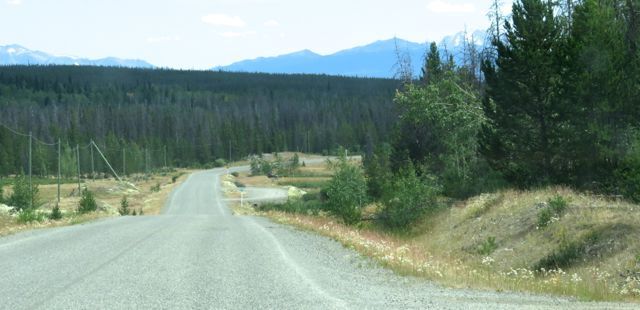
 Two days ago it rained for 8 minutes. It was a thunder shower, so quite heavy at first. It was the third rain of significance since the meagre snowpack melted in March, and neither of the other rains were particularly heavy. It has dribbled at Anahim and at Tatla Lake on occasion, and it rained on us at Nuk Tessli, but when I returned home from there, after 11 days away, the tracks on my driveway were as clear as when I’d left Ginty Creek. Not a drop had fallen here and the temperature has been up in the 30Cs again for several days in a row.
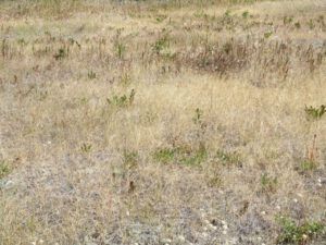
The grass is as brown as late September.
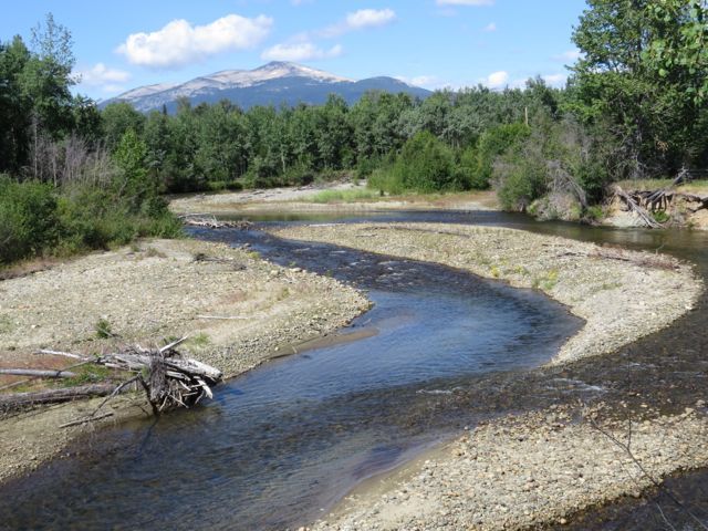
 The river is low.
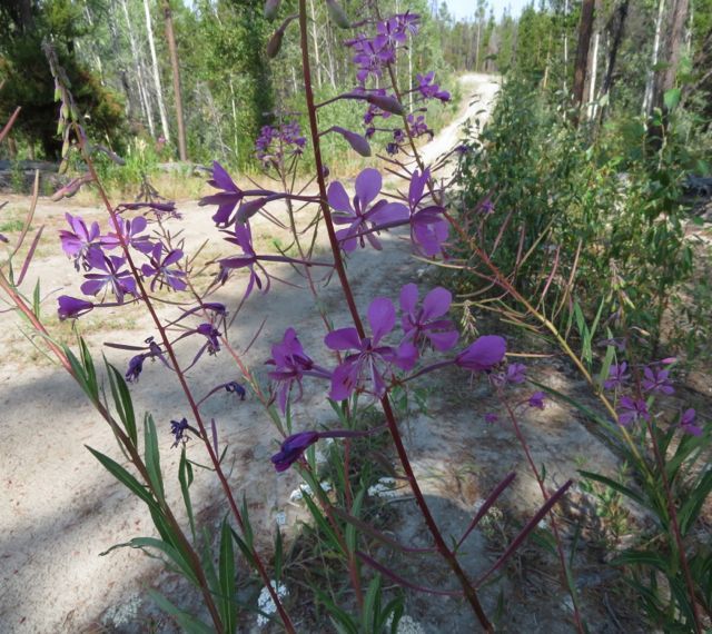
 Fireweed struggles beside my dusty driveway.
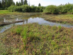
 The lower pond, which is fed by two little creeks, still has a a bit of water in it.
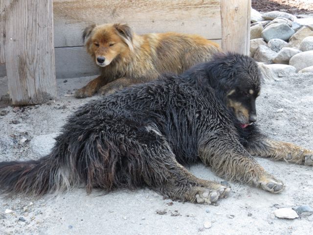
It is the dogs’ cooling off place.
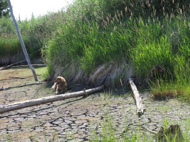
But the upper pond is bone dry.
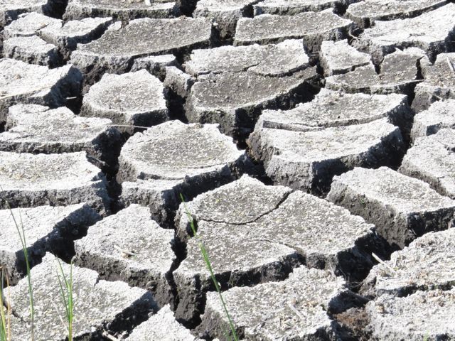
 The cracks are deep in the mud.
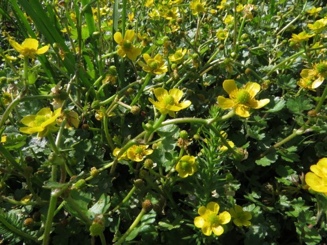
 It is a fascinating ecosystem that manages to survive under these conditions. They would prefer to be sitting in water, but I guess the soil is still damp. Water crowfoot is continues to bloom prolifically.
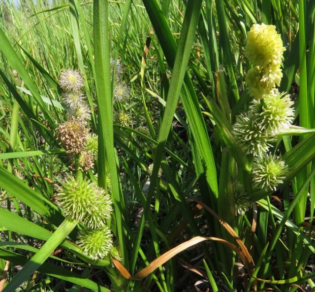
 The northern burr-reed is flowering.
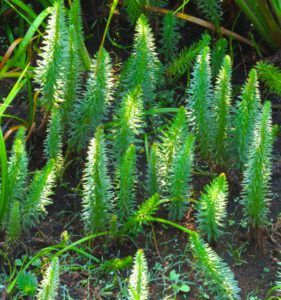
Mares tails, a curious plant that has minute flowers in the axes of its leaves, is doing well.
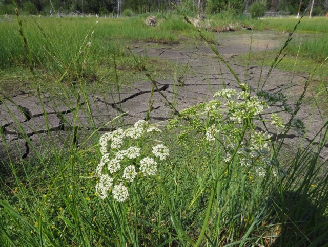
 And I am pretty sure this is water hemlock (which is deadly poisonous.)
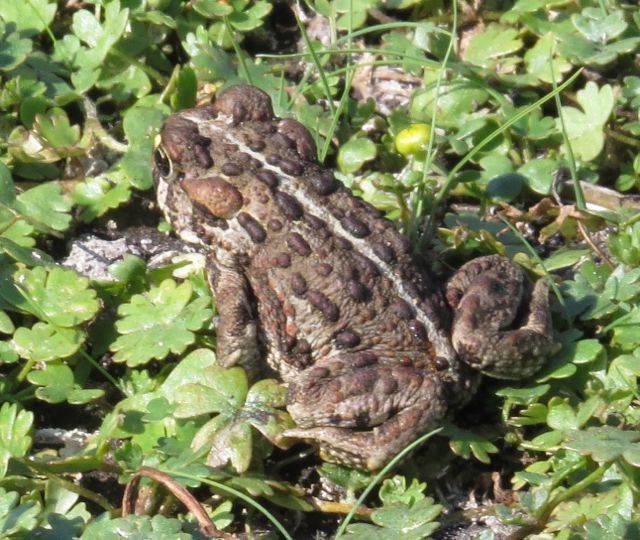
 Hopping gaily through this landscape were numerous frogs. The largest were about 2″ long. Many were smaller.
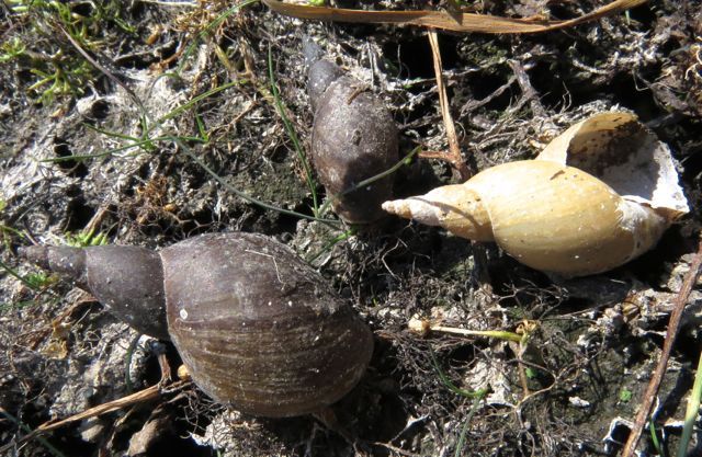
 I wonder where the great water snails go in the drought?
 The air, for the most part, has been quite smokey but the smoke might have travelled hundreds of kilometres so it was hard to pinpoint where it came from.
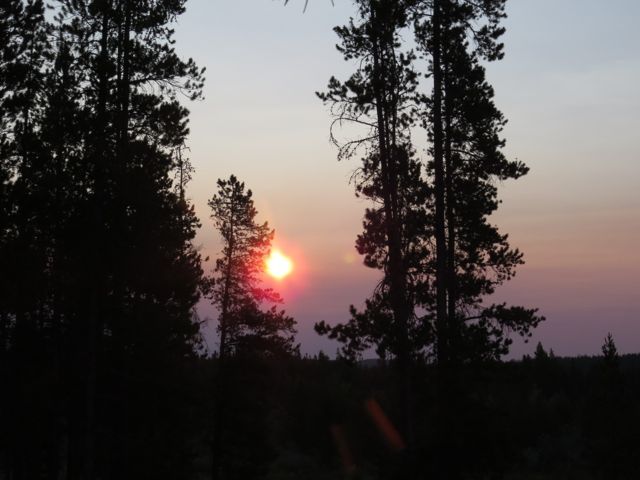 Smoke filtered light gives an orange cast to everything.
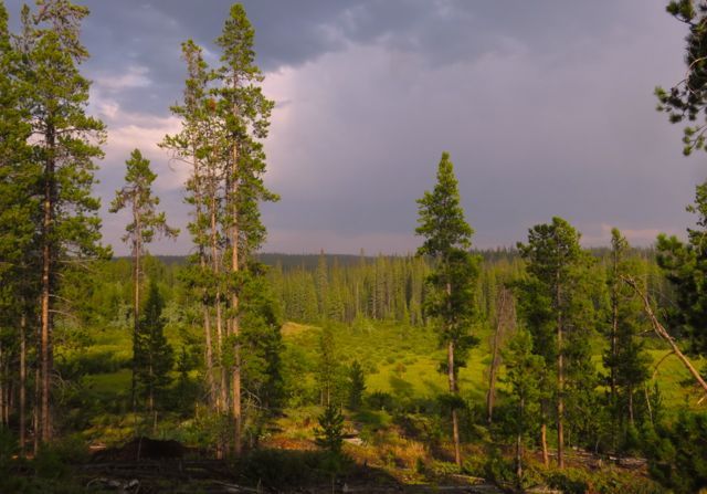
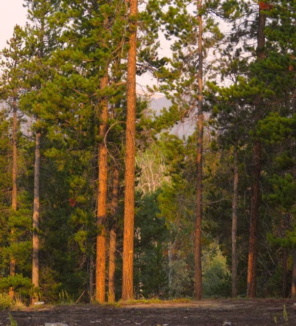 After our little grumbly thunderstorm, it looked as though there might be a closer fire.
 I checked the BC Forestry fire website. At the bottom of the page, it gives a link to the Google Earth Active Fire map. I cannot find this link directly on Google Earth, so if you are interested in checking out fires anywhere in north America, you can get the link via the BC Forestry page.
Sure enough, there was a new fire the other side of Kleena Kleene, possibly 20 km from me. Being East, it was unlikely to spread my way as we don’t get strong winds from that direction: in fact the wind strengthened from the SW, and while this fire was roaring away we had a day completely clear of smoke. However, it was obviously of concern because suddenly I heard a deep-throated rumble and at least two, possibly three waterbombers trundled slowly over the fire site, often swinging close to my house as they circled round. Fortunately, the runway on the defunct Puntzi Mountain airbase (about 90 km east) is kept operable and these great heavy propellor planes, which need a very long runway, are able to take off from there. They are very effective, because today the wind is pounding again but there has been no resurgence of the fire.
