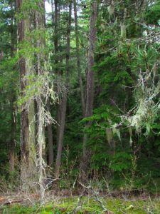
The Bella Coola Valley is about 50 miles long. It is much wilder at the upper end. We stopped there to walk in the coastal forest.
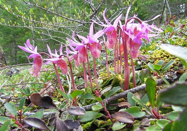
And I was delighted to see wonderful displays of the Calypso Orchid, Calypso bulbosa.
 The Bella Coola Valley is spectacular.
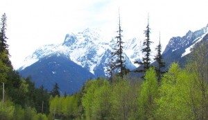
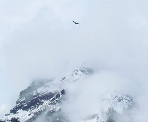
Eagles soar against the peaks.
The cottonwood balm scent was still heavenly, but a little further down the valley we met another spring aroma.
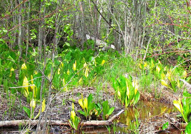 Skunk Cabbage! Actually, the smell is not that bad – just different. And it is such a wonderful sign of spring at these lower elevations. The flower cluster and its attendant yellow leaf is also known as Swamp Lantern.
Now the valley becomes more inhabited, and we drove through the little town and beyond the fishing docks and ferry wharf to a little picnic area beside the salt chuck. Bella Coola is still about 80 miles from the open ocean so the water is not very salty here.
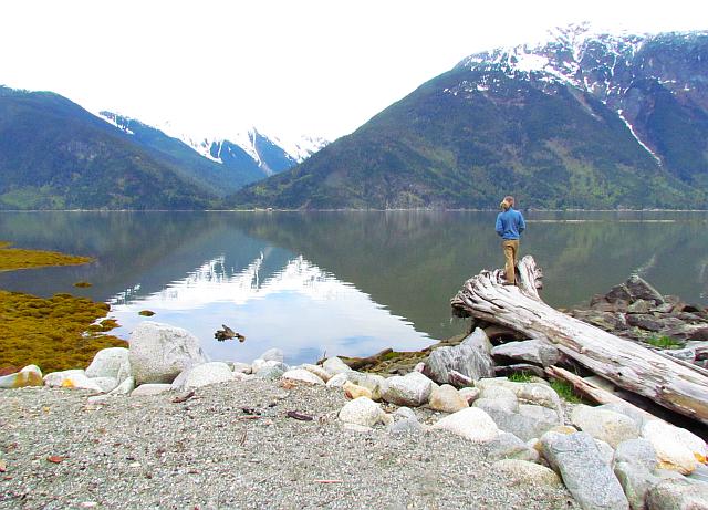 So within a few hours we had driven from a cold late spring, back into winter, and down into the soft warmth of the coast. The Bella Coola Valley has to be the prettiest place in the world in the spring. It is a lovely community, too, and I would live there like a shot if it wasn’t for the gloomy, rainy winters!
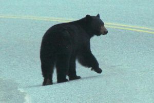
Just to round off our day of adventures, on our way back up to the bottom of The Hill, we encountered two representatives of a very common resident of the valley who have just got out of bed – black bears. This one is crossing Highway 20.
