I can see the mountain from my house.
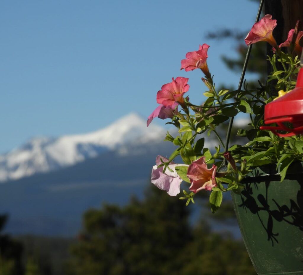
There’s a long, horizontal clearcut below the summit, and it must be clear of snow before it is possible to get up there. Although the weather had been cool with no precipitation during the spring, storms hiding the mountain meant I had to wait for a break in the weather . Often the early flowers peak late June, but it was early July before the weather cooperated. I was fretting that I would miss the best of the show but in fact I was too early. The cold and the drought meant that most of the displays were not quite out yet.
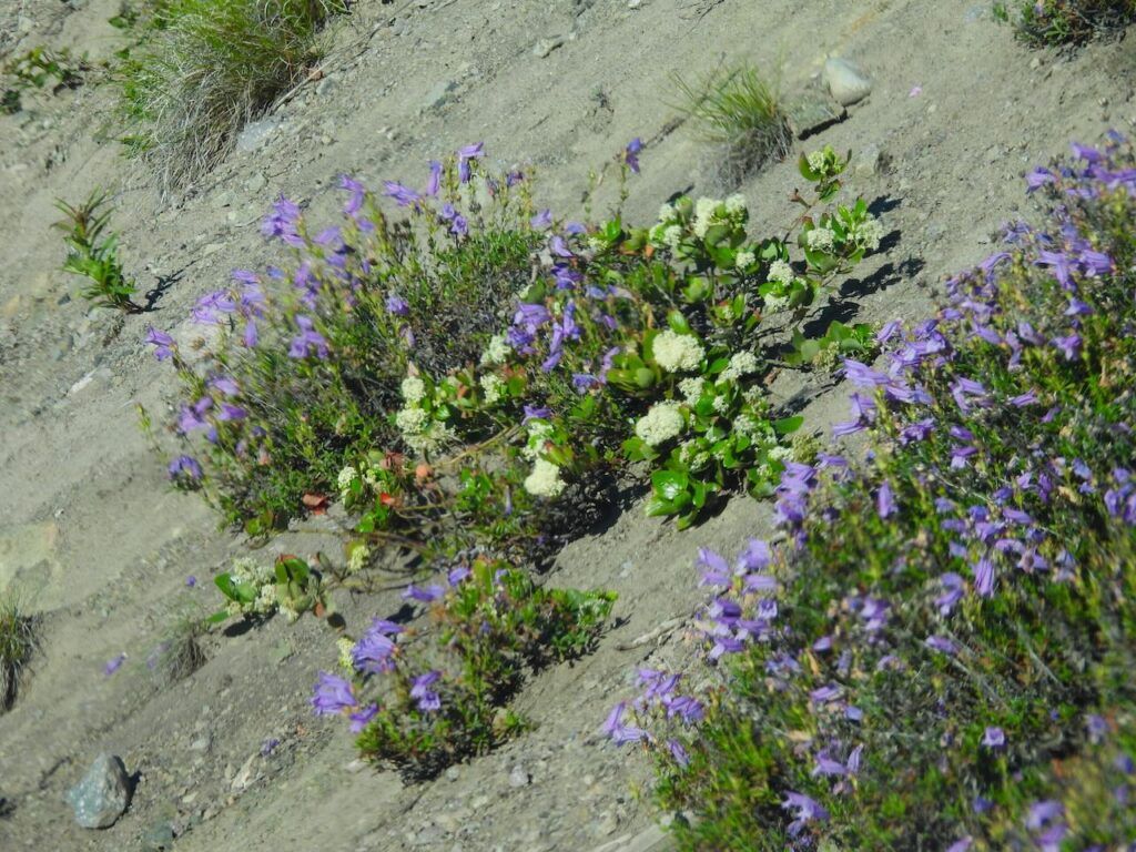
Miner Lake is where the first flowers start. Davidson’s penstemon and Ceanothus.
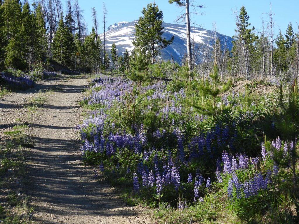
There was nothing wrong with the lupin display. The cutblocks were a blue mist of blossoms.
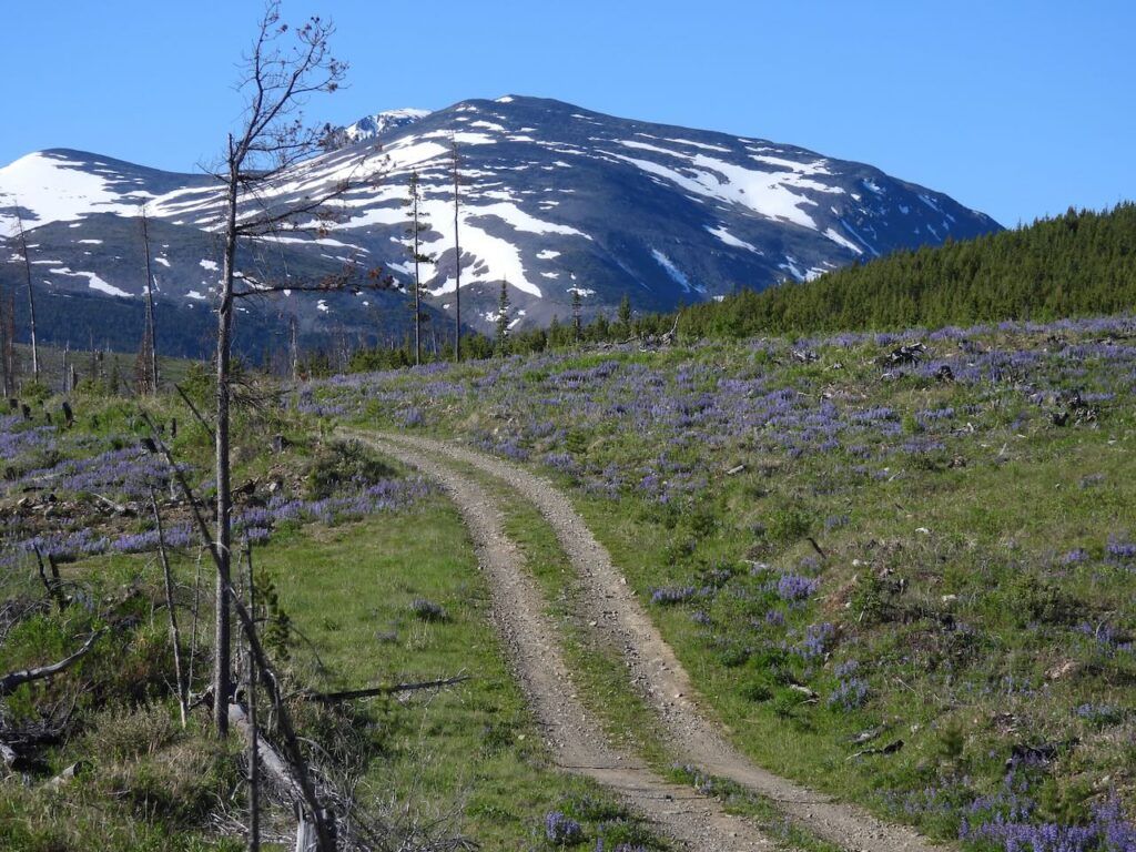
But from the subalpine on I had to hunt for the flowers.
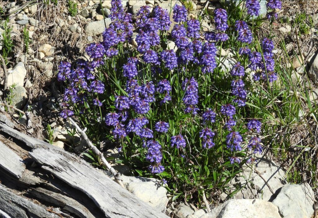
Penstemon procerus
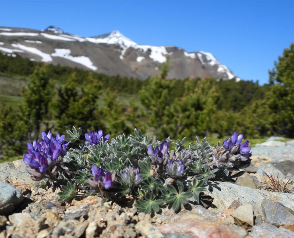
Lyall’s lupin. A delightful plant no bigger than a clover.
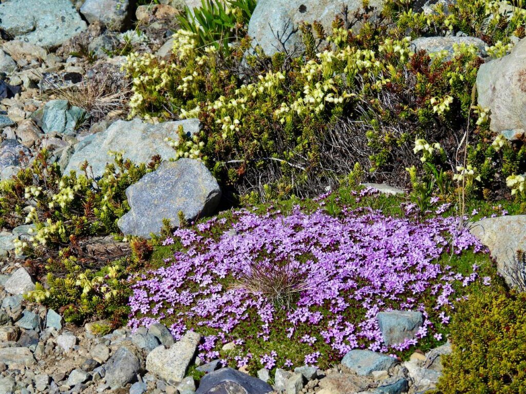
The inevitable moss campion and yellow heather.
A few purple Jacob’s ladder. They used to be abundant then after a very dry year they all but died out. Now they are slowly coming back.
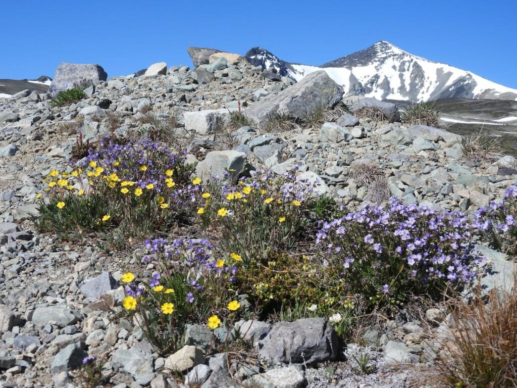
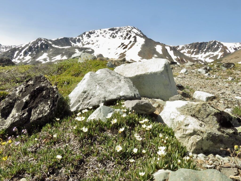
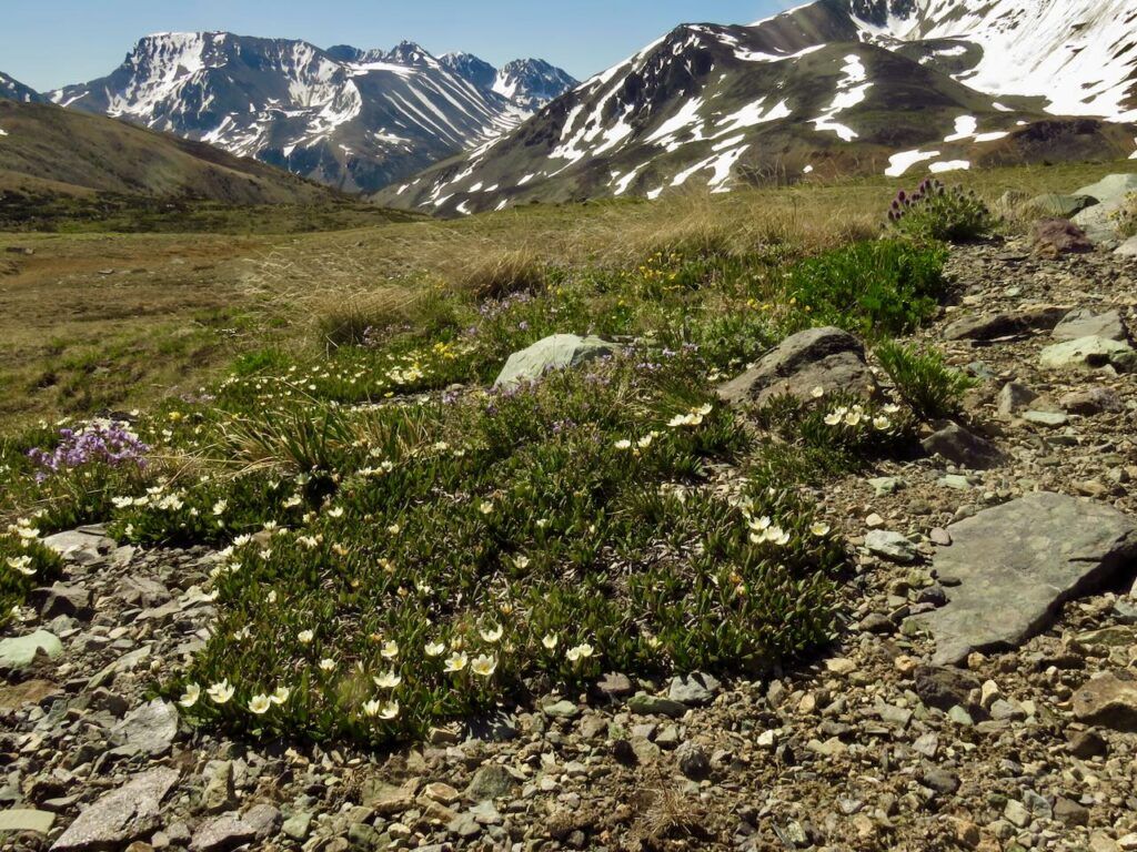
But most of the flowers were sparse. These are mountain avens. There were great carpets of them last year.
I’m pretty sure this is a white-tailed ptarmigan.
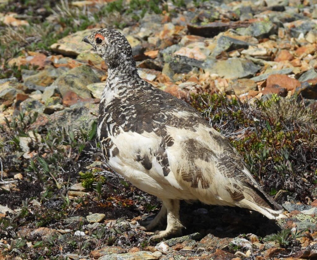
Last year I was excited about getting a Nikon Coolpix P950. I wrote about how disappointed I was with it in this post. I took this ptarmigan picture with it – at a medium distance it is quite good. But the swivel screen no longer works and I have to look through the view finder. Fine for birds and scenes, but useless for getting down to ground level to photograph flowers. I looked on line to see about counteracting this fault and google told me to press a button near the viewfinder. My camera has no button near the view finder. And more recently, it will not accept a memory card. The card just keeps popping out. The only way I can get the camera to accept it is to jam it with a piece of wood. I do not expect that situation to last very long. This camera was a complete waste of money. Fortunately I had dusted off my old Canon Powershot SX60 for this trip and most of the pictures in this post were taken with it.
Cut-leaf anemone
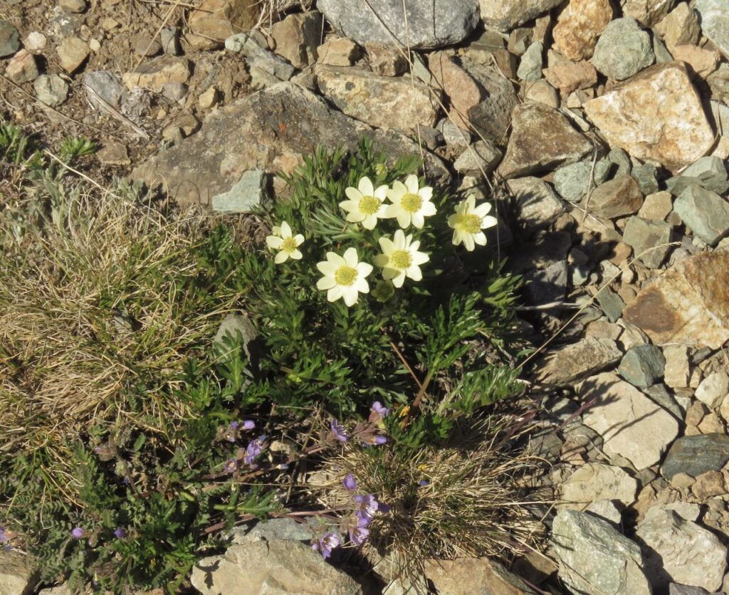
Some uninspiring mixes
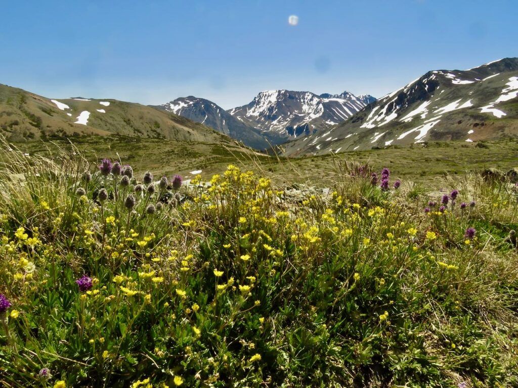
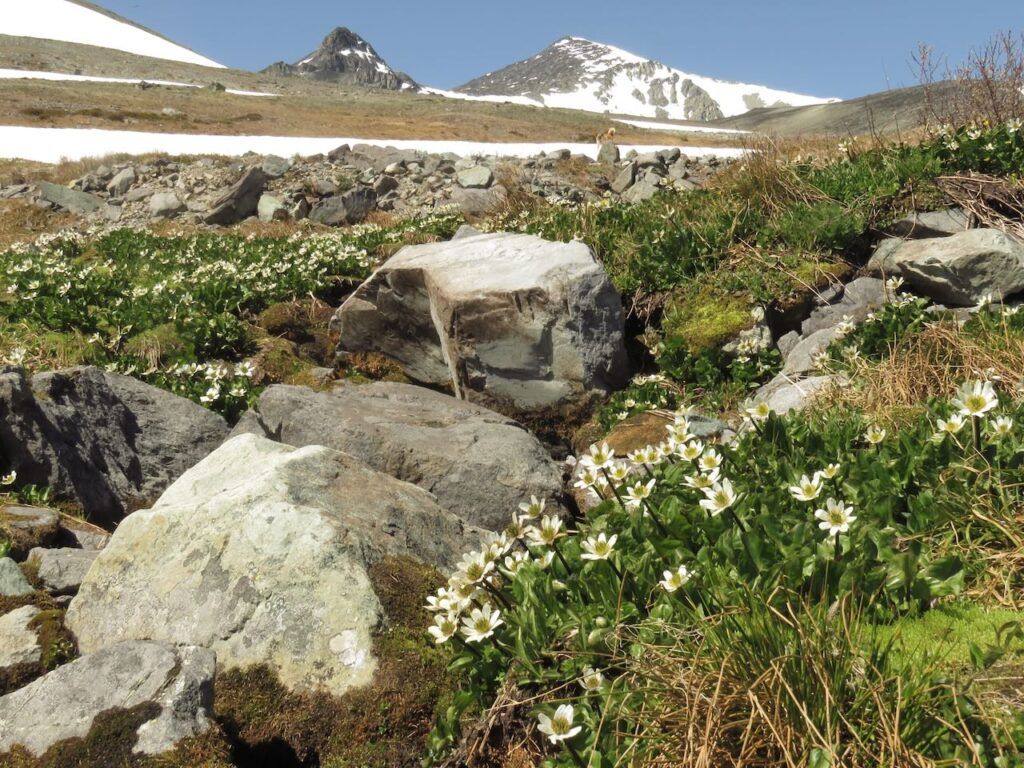
Even the creek had fewer flowers this year.
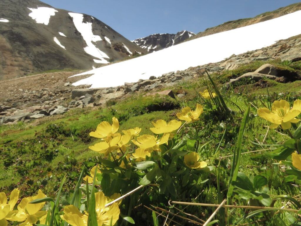
Mountain meadow buttercups
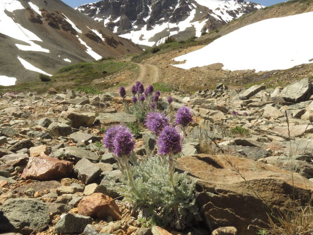
Silky phacelia. Lower down it can become straggly and weedy. But in the alpine it is always compact.
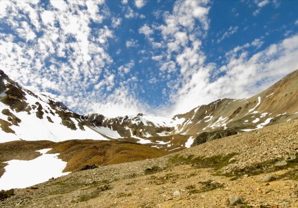
Well the flowers were disappointing, and the camera was frustrating, but it was beautiful to be up in the mountains. And I was rewarded at the end of the road by a beautiful cloudscape.
