The river started to break up.
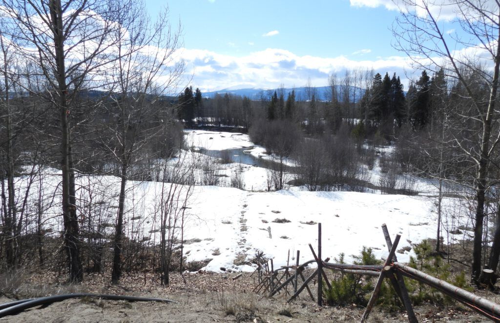
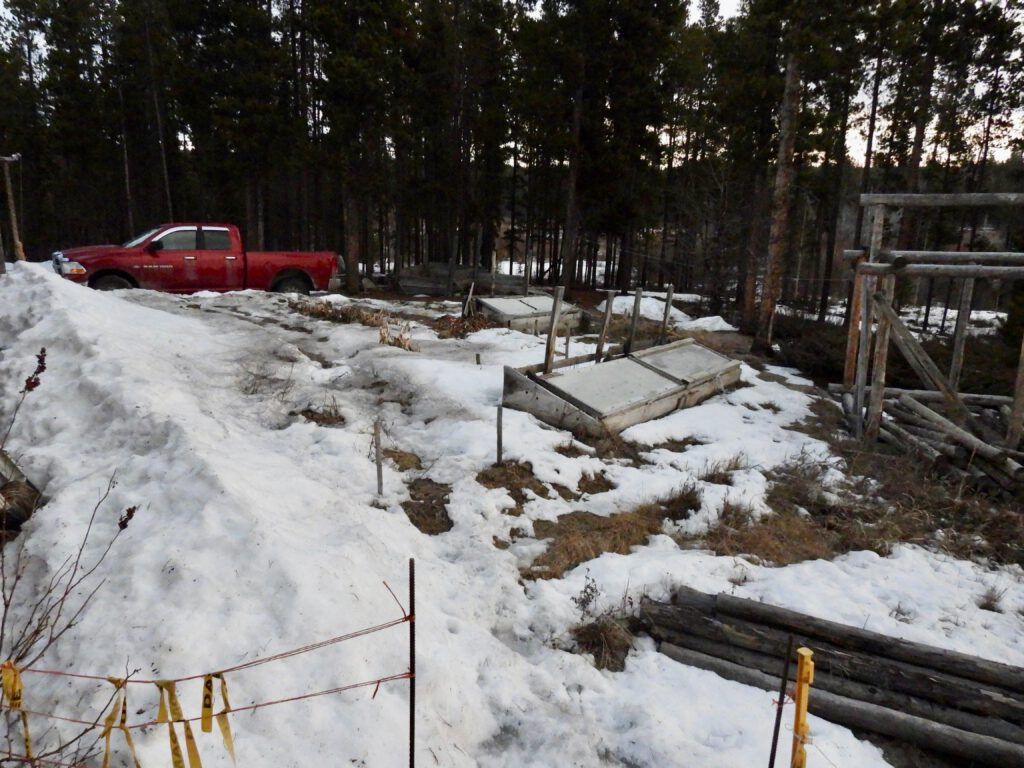
And the snow was starting to go. I put ashes on the garden to speed up the melting.
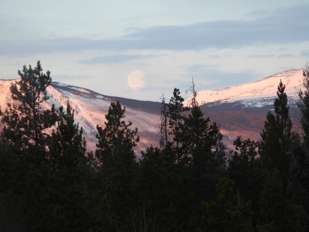
This was the full moon that caused all the eclipse brouhaha. Unfortunately we could see none of that here, but the moon rise was beautiful.
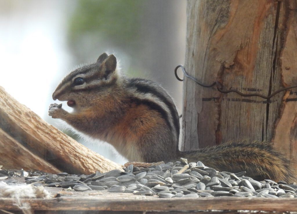
The first brave chipmunk stuck his nose out into the world. They are hibernators. They spend more time stuffing their cheek pouches than actual eating. No wonder sunflower plants pop up all over the place.
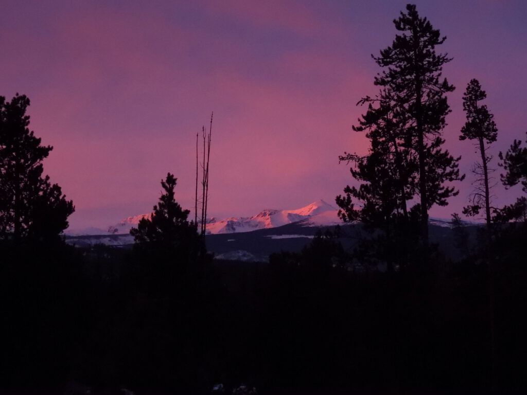
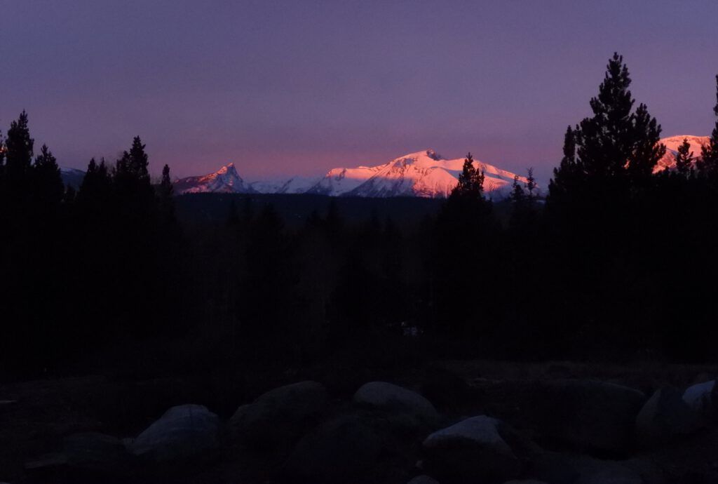
No blog post is complete without a beautiful sunrise.
The redwing blackbirds were now in full force. Only 25 maximum this year. I love to see them fighting!
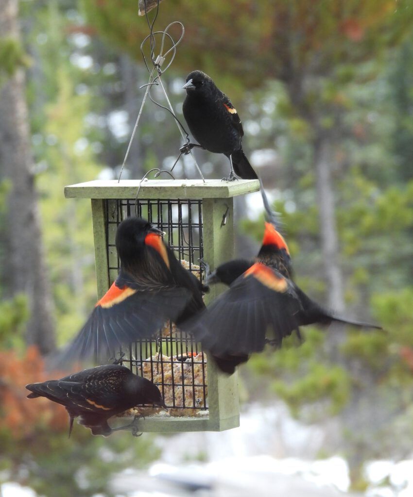
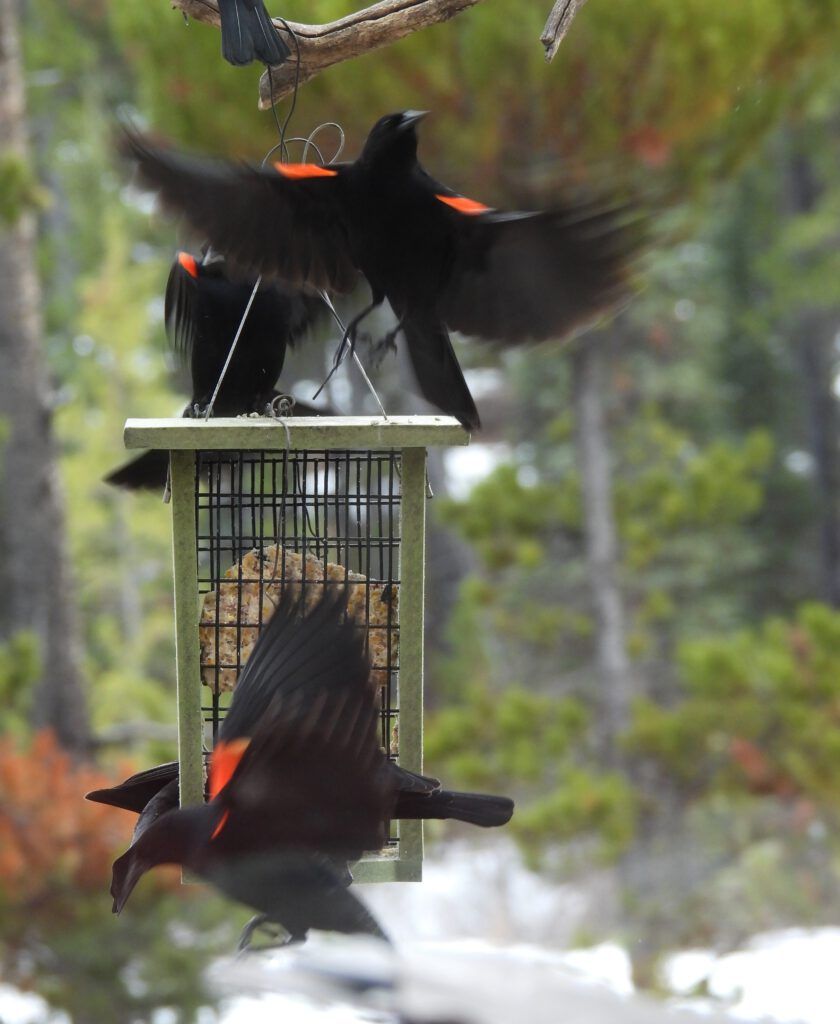
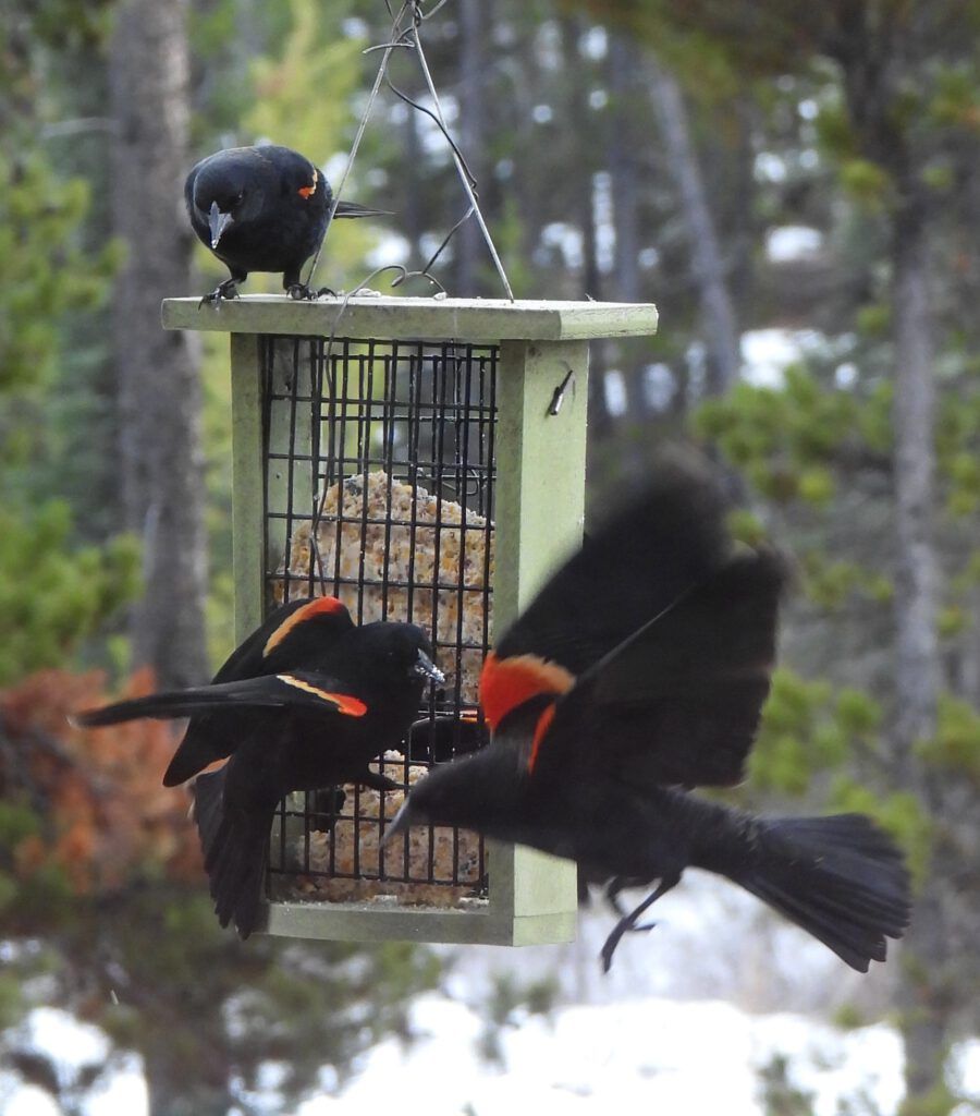
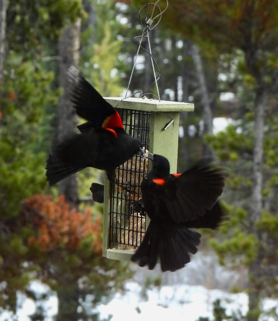
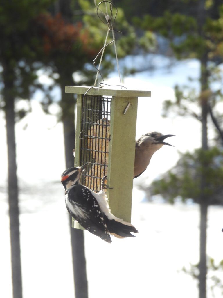
A blackbird is just out of the frame of this next picture, and receiving a very strong message from the Clarke’s nutcracker and hairy woodpecker.
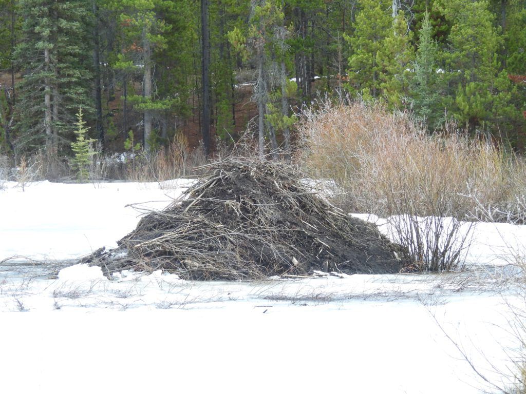
The beaver house lost its snow.
Spring rain clouds are different from snow clouds
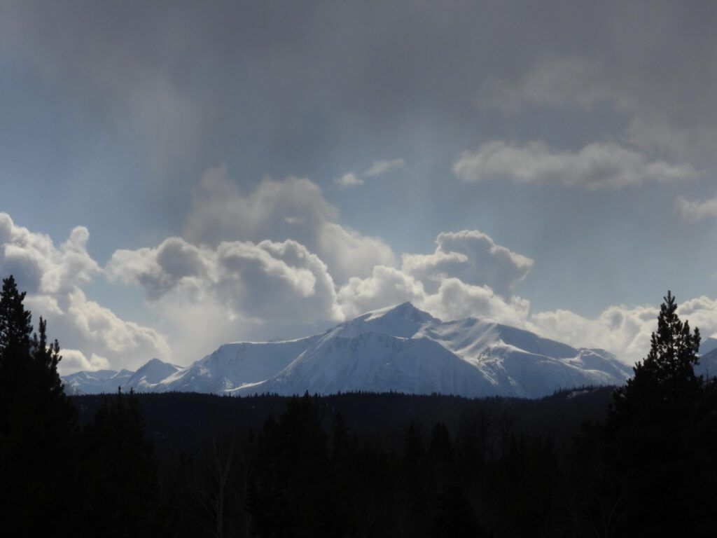
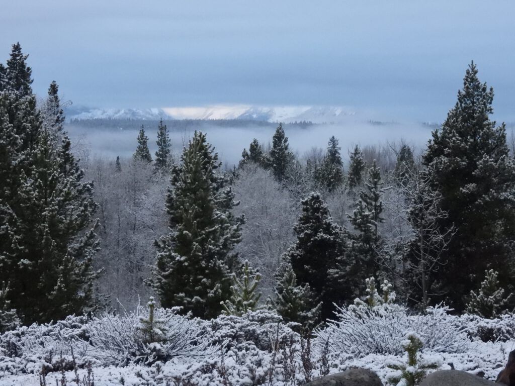
But of course the snow wasn’t quite done yet.
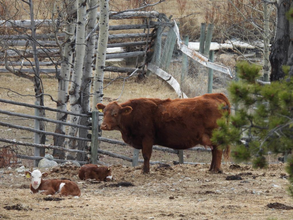
Baby cows started appearing on the ranches.
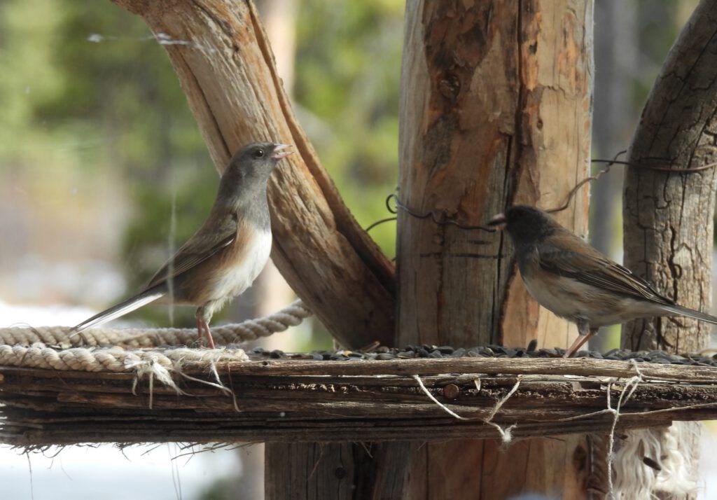
Juncos were now well established.
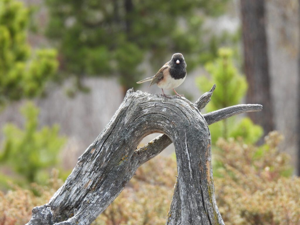
They, too, have their fights. They make little twittery noises and each try to stand taller than their opponent. If that doesn’t work they explode into the air in a whirlwind of feathers.
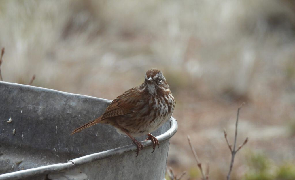
Song sparrows are an early migrant.
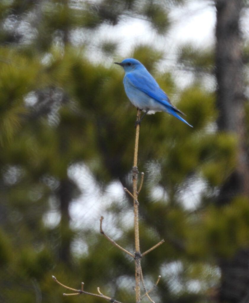
It is always a treat to see a bluebird. I have recorded only the mountain bluebird here. The western bluebird has a russet breast.
Then fast and furious came the gold crowned sparrows,
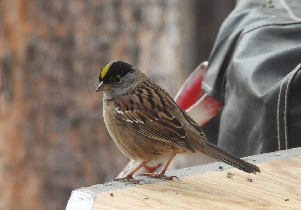
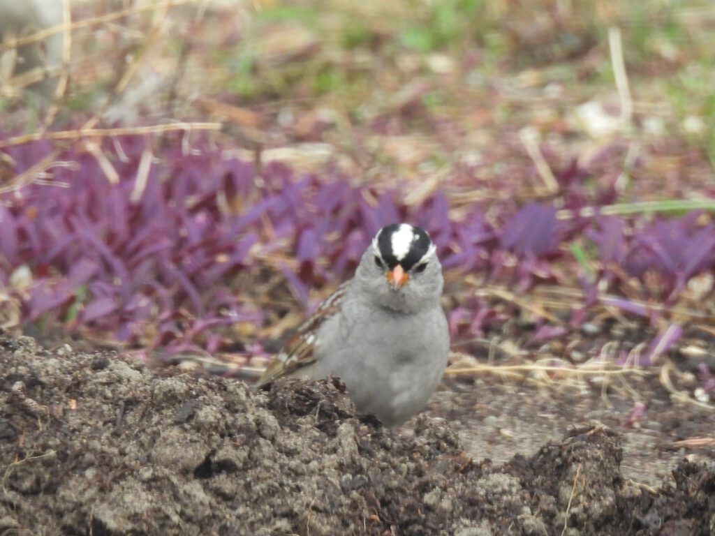
White crowned sparrows
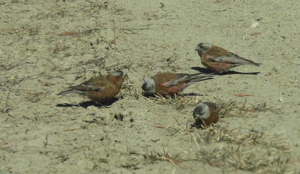
And a somewhat unusual occurrence, grey headed rosy finches. I have seen them in the area occasionally before, and encountered them nesting in the high alpine, but this year there are flocks of them everywhere.
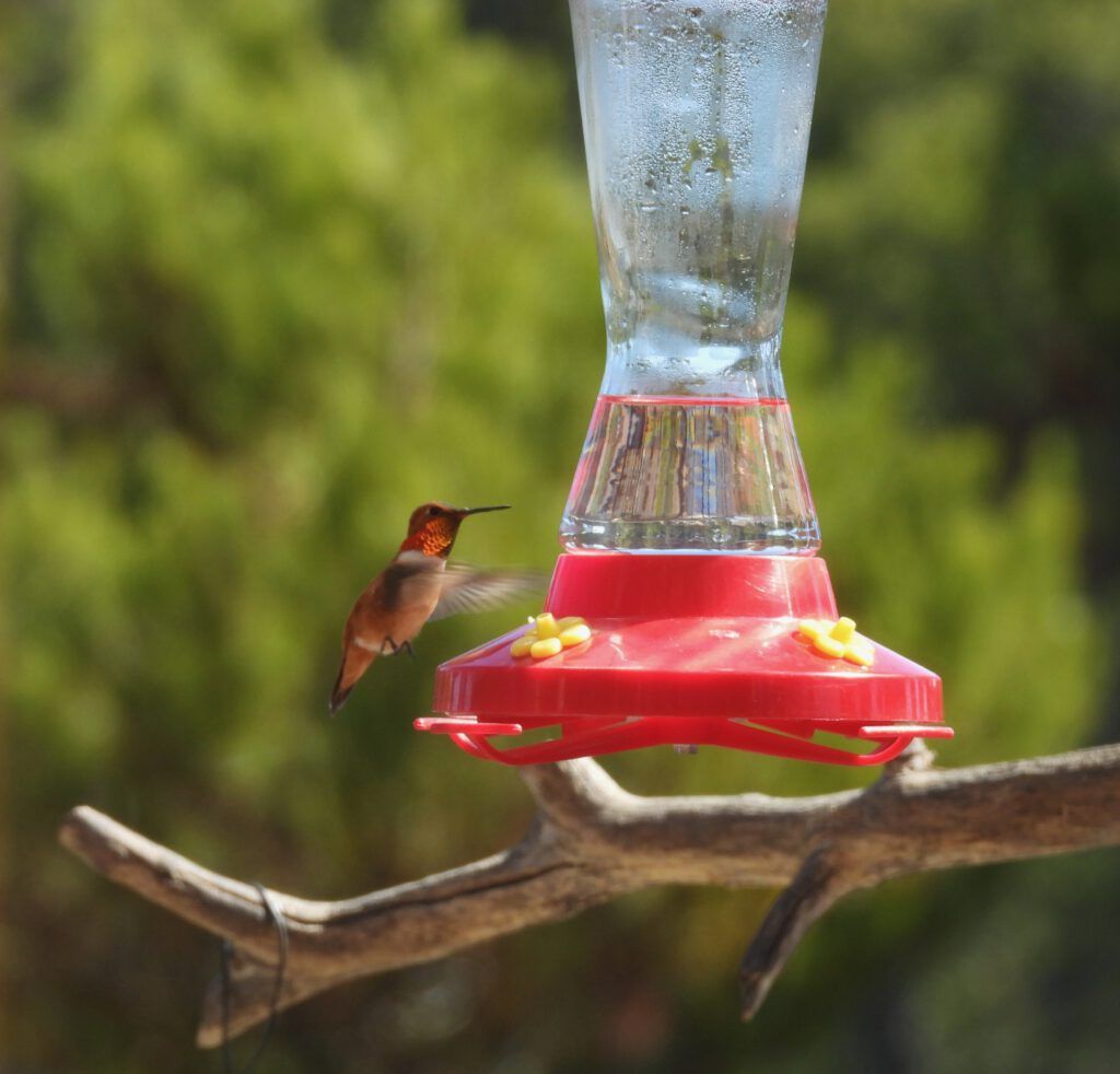
When the pussy willows turned yellow I prepared a feeder and sure enough, in a couple of days the rufous hummingbirds arrived.
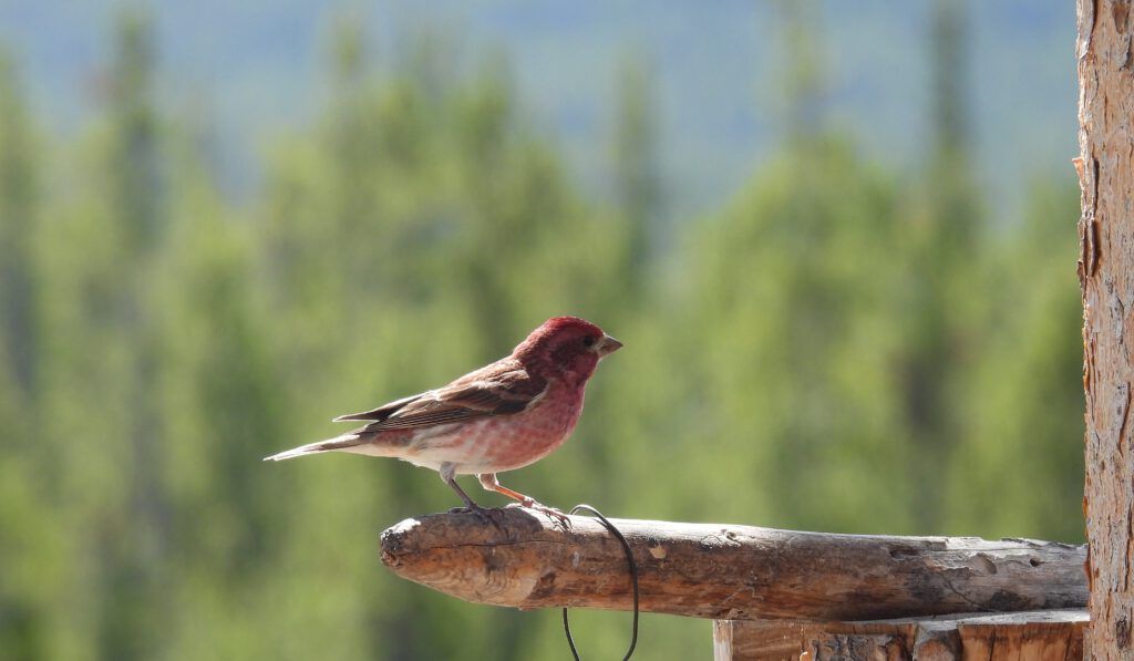
The last of the perching birds was the purple finch,.
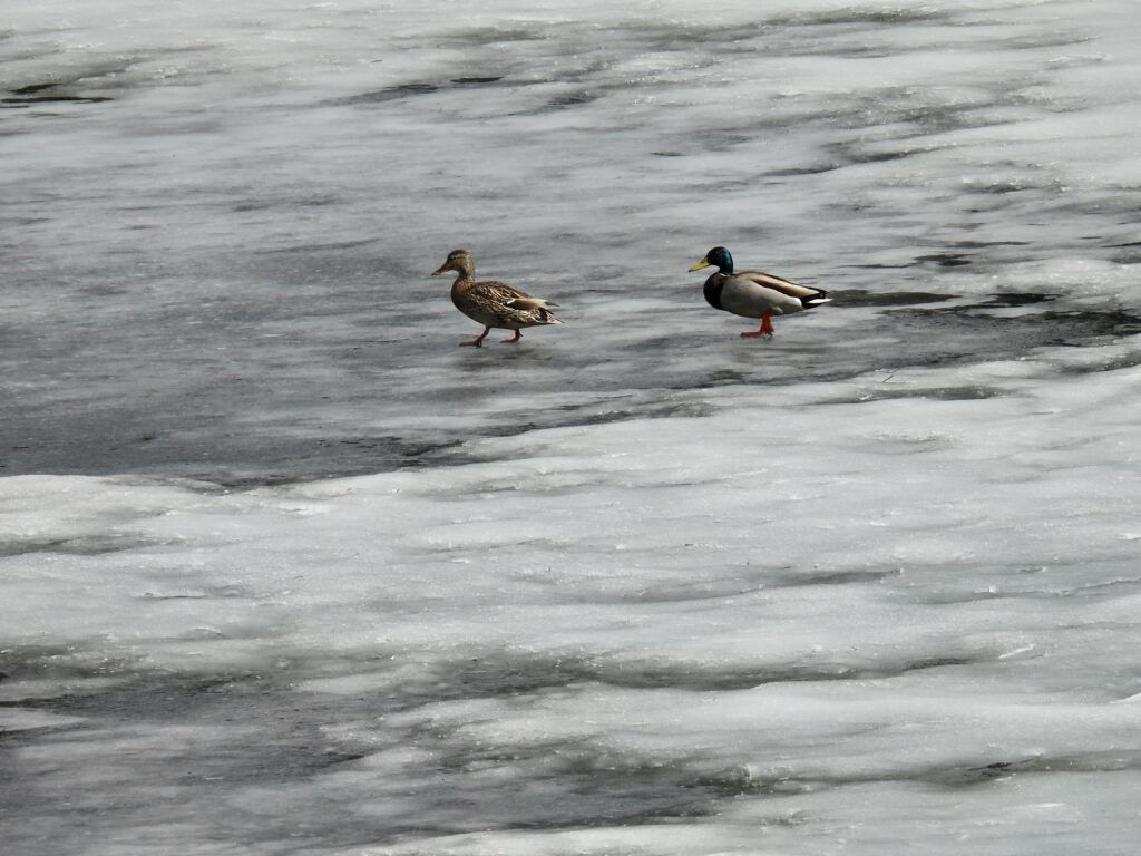
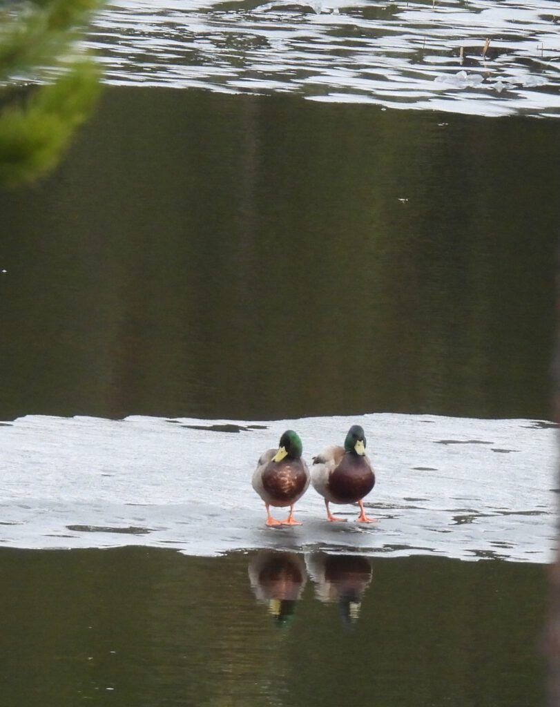
The pond was reluctant to lose its ice. Two hopeful mallard landed by the beaver house and walked all the way across the pond before taking off again.
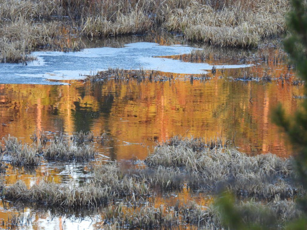
Finally, the ice began to open up.
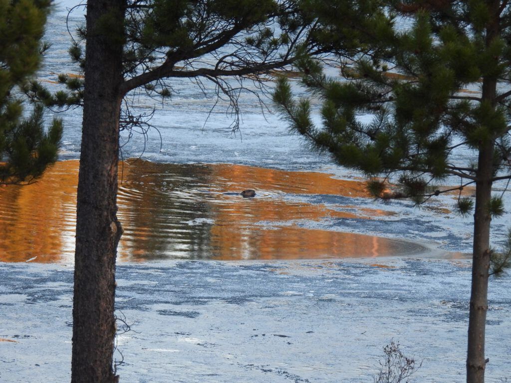
That evening, a muskrat appeared in one hole,
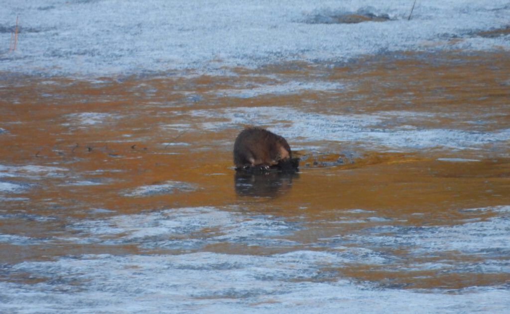
A beaver in another. (Apologies for the poor quality of the pictures with this supposedly “super-zoom” camera.)
Now the mallards were happier.
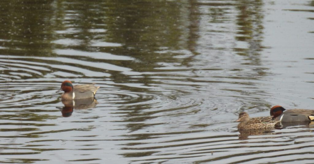
And then the pond opened right up. Here are Greenwinged teal.
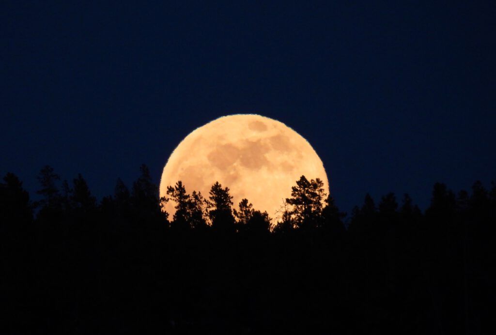
And finally a surprise moon a few days past the full
