Despite the strong winds that were forecast, the week was cool enough and a bit damp so that the fire evinced no dramatic behaviour. Gradually the fire mapping on Google Earth lost its squares until they disappeared altogether. As I have written before – this does not mean the fire is out, only that it has no new hotspots.
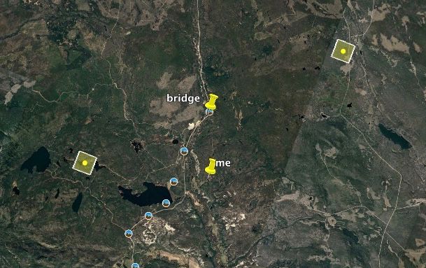
On 27th July, BC Wildfire Service downgraded the area to Evacuation Alert. The fire perimeter goes way beyond, but no one lives up there. (My place is to the right of the Highway 20 sign below the red line.)
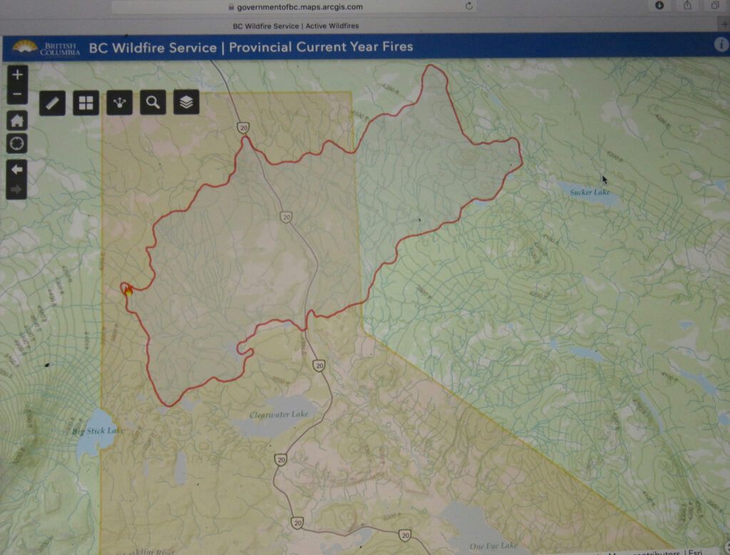
However, this is exactly what happened in 2017. We had a heavy rain late July and the fire was cool and calm. After a few days, the area was downgraded to Alert. But by that time the weather was heating up again and getting windy, and by Aug 1, we were under evacuation order once more. And the Precipice got its worse fire event on Aug 3rd. Read Captured By Fire for that story: the picture on the cover of the book was taken on August 3rd. This year, too, a heat wave was predicted with temperatures in the 30Cs again. I did not feel comfortable staying home until the heatwave was over. Late July/early August is usually the worst time for forest fires in these parts.
The first hot day was to be Friday July 30th, and I figured I’d make another trip home then and leave before noon. I think there is a very good chance our buildings would be OK, but I didn’t want to be stuck in there if the access was cut off. The Hotnarko Fire further north was also quiet. Mopping up operations and strengthening fireguards by back burning was taking place, but in view of the following BC Wildfire Service statement, I figured there was very little likelihood of road closures there.
Status: Active
**As of July 28 at 21:00, this fire will no longer be considered a Wildfire of Note.**
The fire is now classified as Being Held.
Firefighters have completed a 100-foot blackline along the north and east flank.
There was a scan completed on the fire Monday night. Today, efforts will be focused on patrolling and extinguishing hot spots from the scan. Sprinklers have been set up on the interior areas of the fire to help cool the fire throughout the night.
I left, as usual, in the dark, but what a difference in the trip up the Bella Coola Hill. The sky was diamond clear; a bright half moon and Venus hanging like lamps in it. The moon washed sky made it easy to spot the geography of the place and it the trip was as fast as if driving in daylight.
But as the sky lightened, a slab of smoke appeared in the south. From the lookout 5km north of my place, A paler slab of smoke lay on the ground.
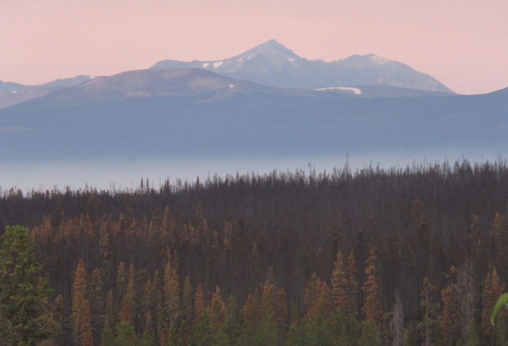
It thickened right over my place. It was to be my smokiest day of the fire. It was bad because firefighters had been doing “controlled burning” – ie back burning to strengthen fireguards.
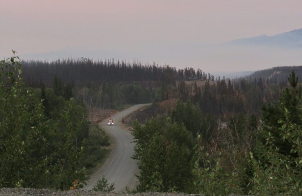
During the week, we had been informed that, because the area had been burned, there would be some funding allowed for clean-up. This had already taken place. Instead of piles of small trees, there were now several huge ones.
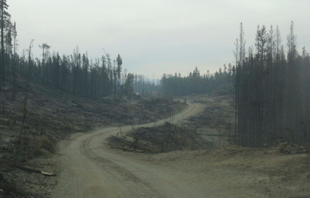
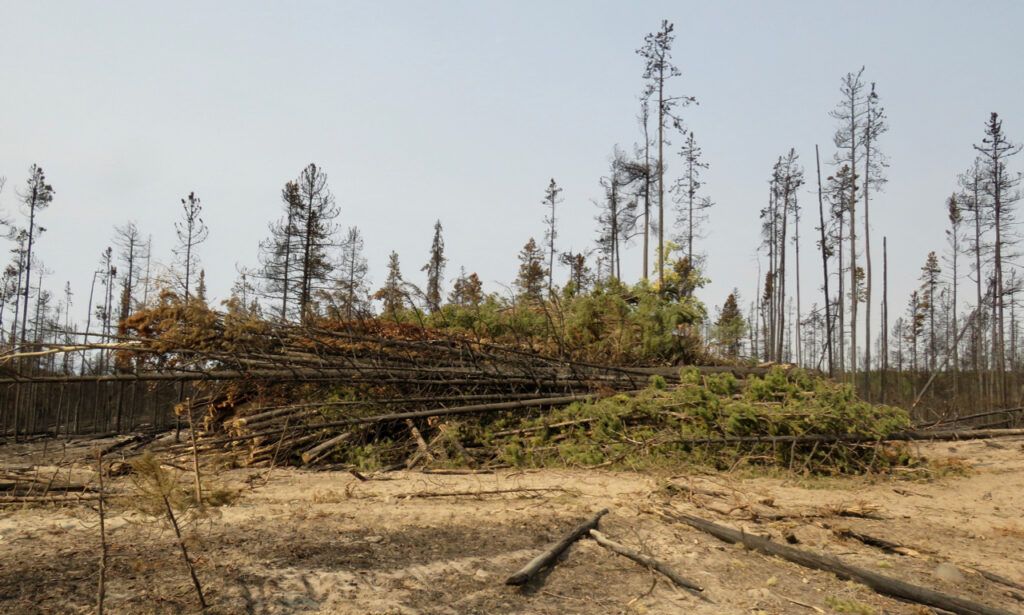
Presumably these will be burned in the fall – we can look forward to another big smoke event then.
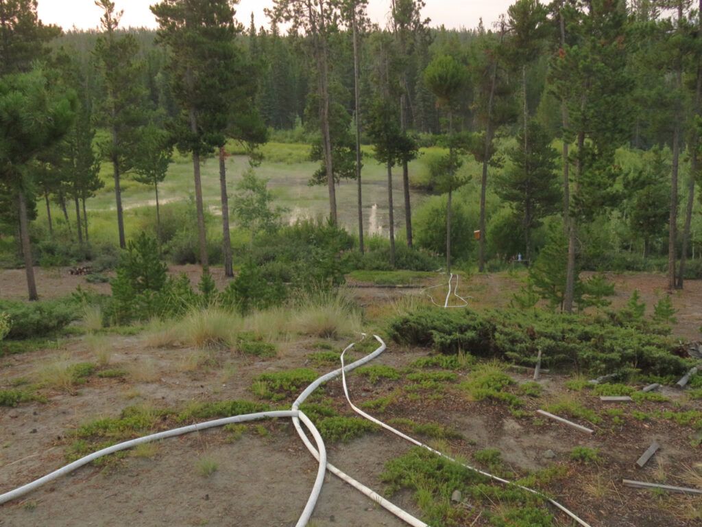
The sprinklers and hoses were all in place. But the water in the pond had dropped half a metre. I’m not sure how much is due to the dry summer or the pumping. It is not a deep pond in the first place – in previous years, it has sometimes dried up. But wet summers and the beaver kept the pond full these last 2 years. I hope the beaver haven’t abandoned me. The lower pond is completely dry.
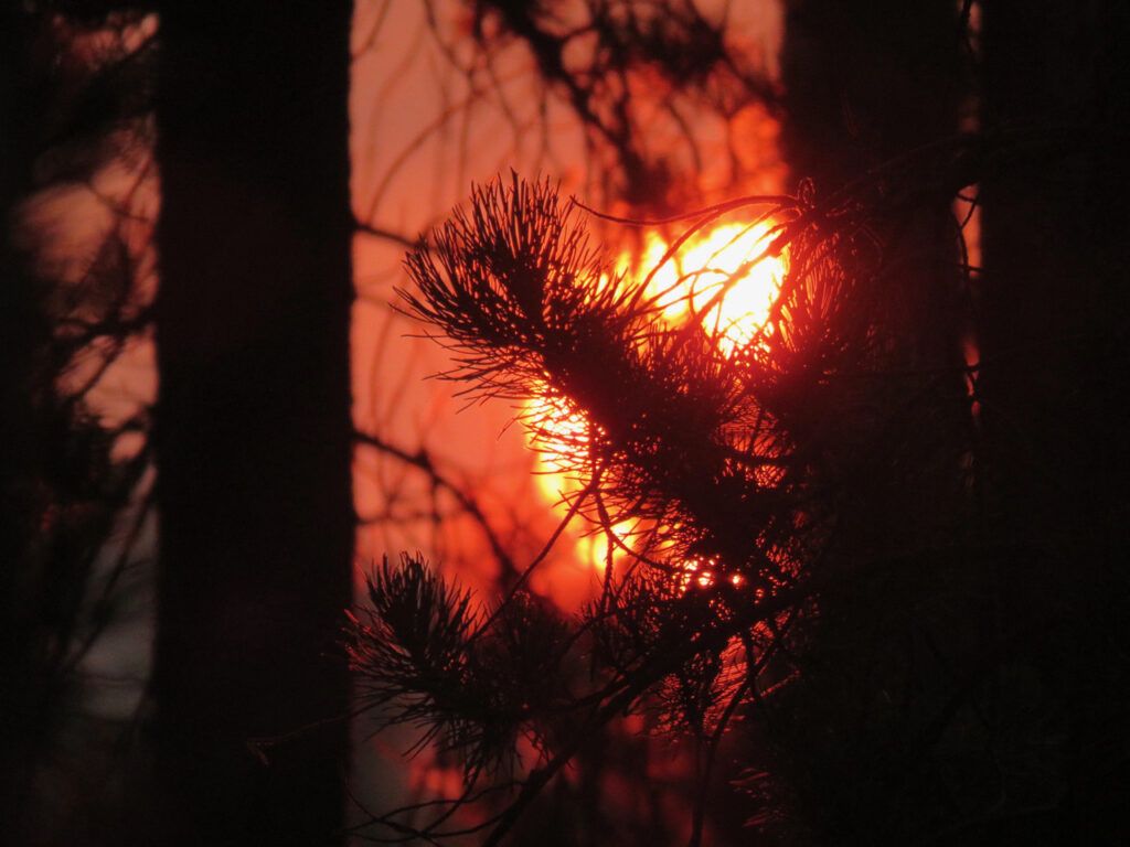
The smoky sun rose.
I had quite a bit to do. On the day I evacuated, I ran the washing machine – and the water welled up all over the floor and poured into the basement. The drain was blocked. It is for grey water only. I took some of the plumbing apart and determined the blockage was outside the basement wall, somewhere under the garden. Couldn’t do much about it then, or even clean up the mess. But now I had supplies bought in Bella Coola, baking soda, vinegar, and a drain auger. Fiddling around for an hour or so, I managed to unblock the drain. I will pour boiling water down it after I properly get home. I also swept the chimney. Not normally necessary at this time of year, but I wanted to make sure no critters had gotten into it when I’d been away.
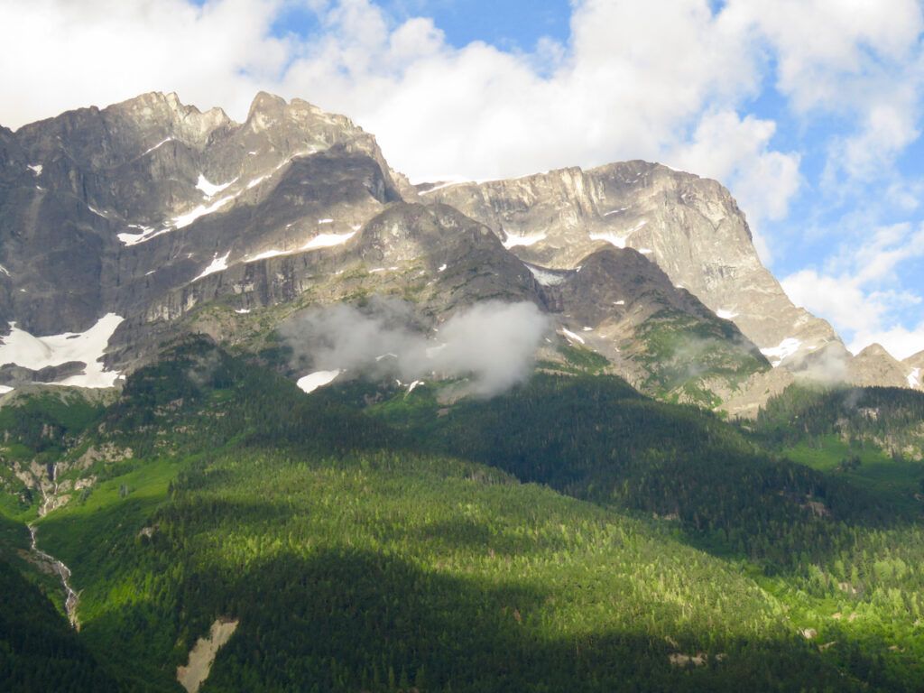
By the time I left for my Bella Coola Valley refuge, cats and helicopters were busy working. A gentle south wind had also spread the upper smoke so it reduced the world to a dull brown until I reached the top of the Bella Coola Hill. There a change of wind had kept the valley clear. What a contrast in every way. (This is Mt Stupendous.)
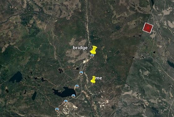
And that evening, Google Earth registered a new red square, no doubt a result of the back burning. (I hope.)
The hot weather is supposed to last most of the week. Some days will be windy. I shall be watching, and waiting.

Hi Chris – glad you were able to get back out to your place and do a bit of work and check on gardens, etc. As you say, at this point, anything can still happen…..one cannot rest easy . West of Quesnel we are socked in with smoke again (3 days now) and are not wanting to be outside. Had a brief 10 min rainfall at one point and some very strong winds at one point. Otherwise there is virtually no air movement at all. Hopefully things will remain calm out your way and there will be no new fire activity.
Chris, this summer will continue to be very worrying for you and your close neighbours. We hope your garden will continue to grow, so that you can have your veggie crop – or at least some of the crop. This is once again a ‘crazy fire season’, stay safe and healthy. You are in our thoughts, as are all your neigbhours from Williams Lake to Bella Coola, be safe and take care.