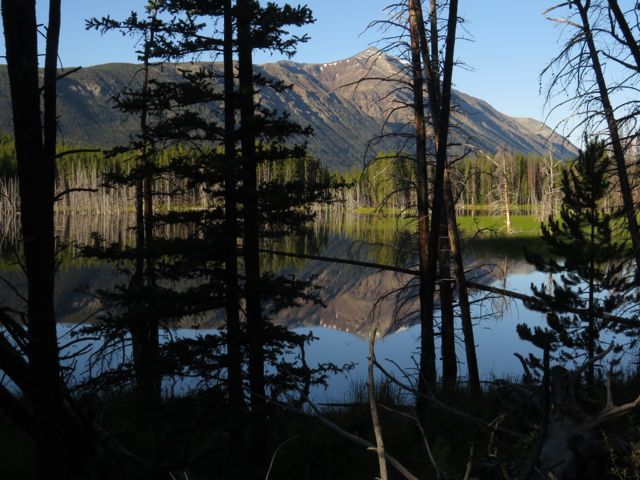
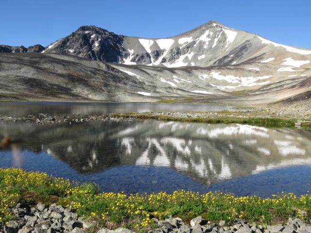
 Ever since I went to Perkins Peak at the end of June, I have wanted to revisit it. However, the weather has always been too bad. Finally, a month after the first trip, we had 3 fine days in a row. Thunder was forecast, but the morning was splendid. Here is a lake en route, with Perkins Peak behind.
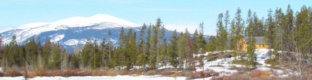
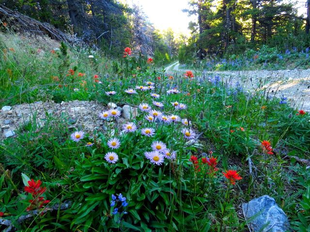
 At Nuk Tessli, the colourful calendar-picture alpine meadows are at their best at this time of year, so I was hoping for great things on Perkins Peak. The roadsides at higher elevations were wonderful.
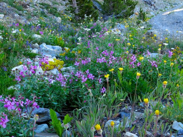
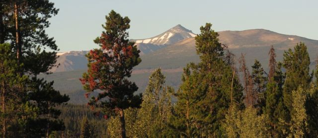
 Then we passed through the krumholtz layer, with its convoluted bonsai whitebark pines.
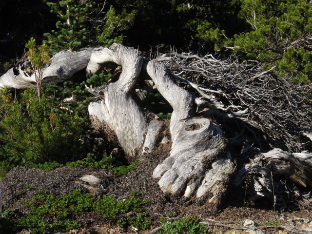 But after that, the flowers were very disappointing. There were none of the vivid lupins, paintbrush, and mountain fireweed I had expected. They were not simply in bud or over, the plants just were not there. Here are a few remnants of purple jacob’s ladder and yellow potentilla that were so common earlier. (The reddish spikes belong to mountain sorrel.)
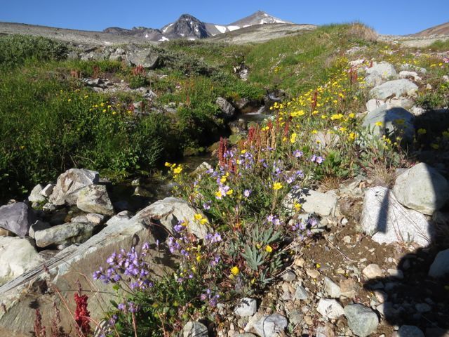 I had planned to drive right to the lake, but my truck began to smell hot. The temperature gage was not high, but I think the high altitude (already 7,000′) and very stony steep road was taking it’s toll. So reluctantly I parked it not very far from the first time I went up here, and we walked to the lake. (I had volunteer Sanjey with me.)
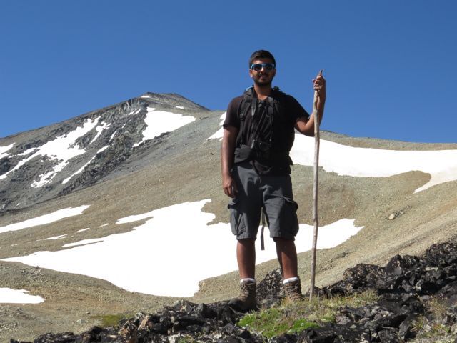
 At this point, the most obvious route would have been to follow the old zig-zag mine road to the top of the ridge – I am including a photo from the previous trip to illustrate it.
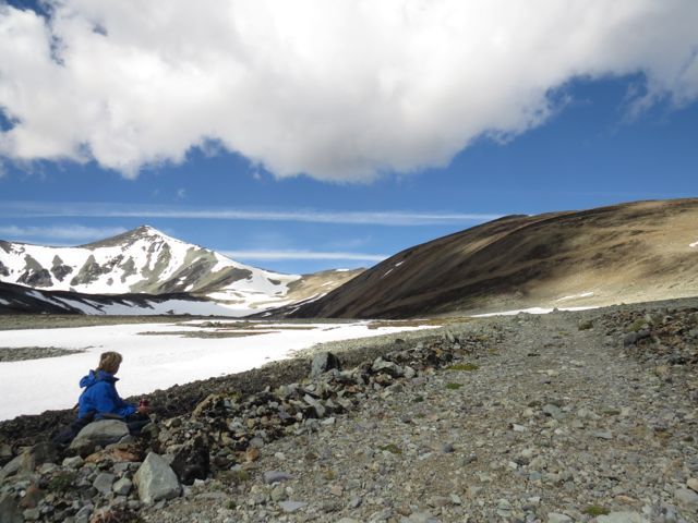 But I was interested in plants and thought we could cut across the side of the valley to the pass in the background. Mostly, the walking was pure rock.
 Here and there were tiny scraps of vegetation. Interesting, in that they are not all that common at Nuk Tessli, and amazing for their tenacity, but not the colourful displays I was expecting. Payson’s draba.
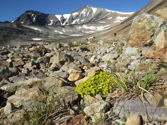 Alpine harebell
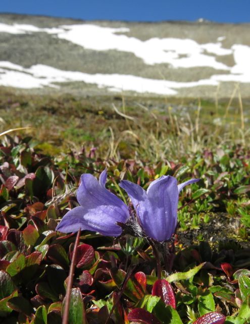 (Including this extraordinary clump. I have never seen one like it.)
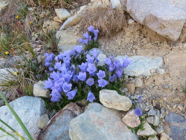 Appropriately, there were the saxifrages, which translates as “rock breaker.” S. tricuspidata
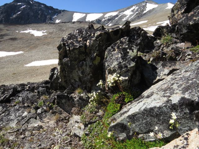 S. caespitosa
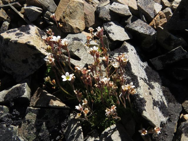 S. cernua
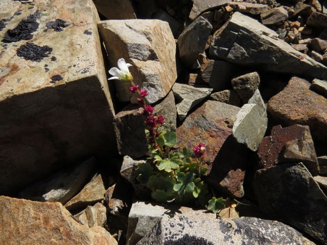
 We reached the saddle. I was travelling very slowly – my knees were not liking the loose rocks.
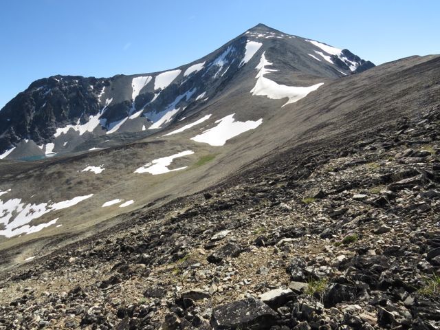 Sanjey was completely inexperienced at this kind of hiking so I was at first reluctant to let him go alone, but a couple, who had obviously climbed the mining road with an atv, could be seen ahead of us. I figured Sanjey would be safe enough to go at his own speed. There was no trail, but it was possible to see scuffs in the looser gravel where people had gone before. I reached a rocky bump between the highest two larger snow patches in the above photo, and then gave up. I knew my knees would be just as slow going down and although the days are still long, I didn’t want to risk a return in the dark. I watched Sanjey climb higher – soon he met the couple who had already summited and were coming down.
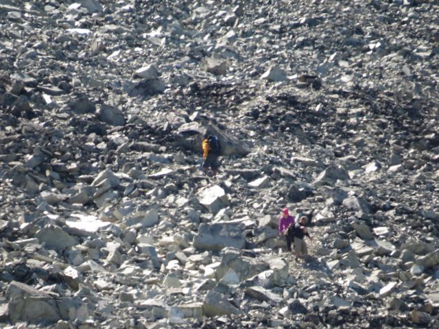 There was no sign of the forecast thunder, and the weather was fabulous. So it was no great hardship to sit up there and wait for him. The views were absolutely fantastic.
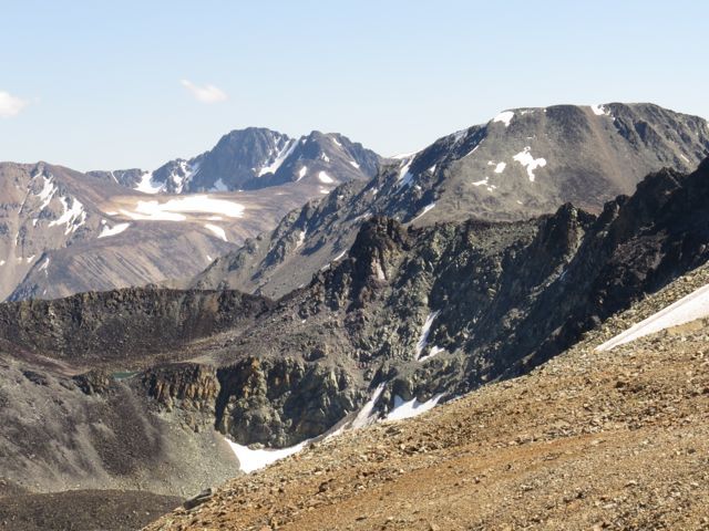
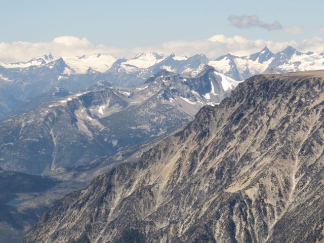 By far the largest peak was Monarch Mountain, which dominates the view at Nuk Tessli.
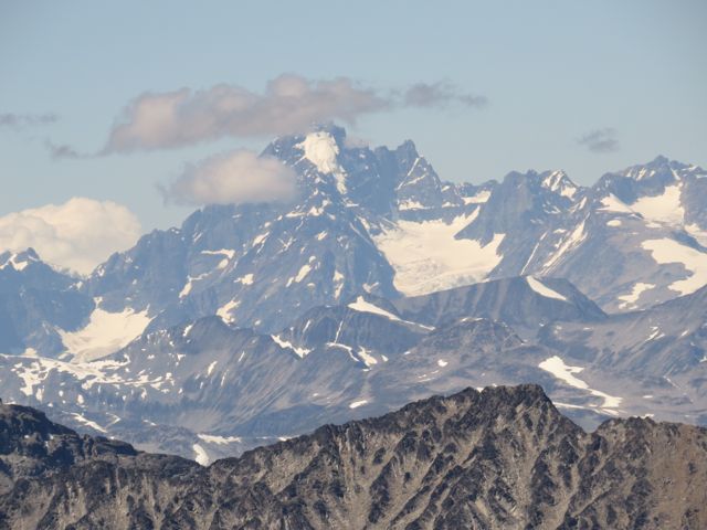 Far down below was a lake of an extraordinary glacial blue.
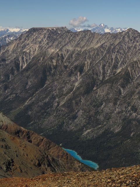 I began to realize that much of my life during the last nearly 40 years was spread below me. Looking back to the Chilcotin was where I live now.
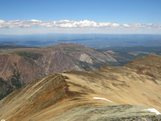 To the right of the bump in the middle distance is my house! On the left and right of the lower part of the picture below are the north and south bluffs. From the cloud shadow, barely discernible, is the tiny thread of road. To the right of the road is a miniscule pale dot. That is my house!
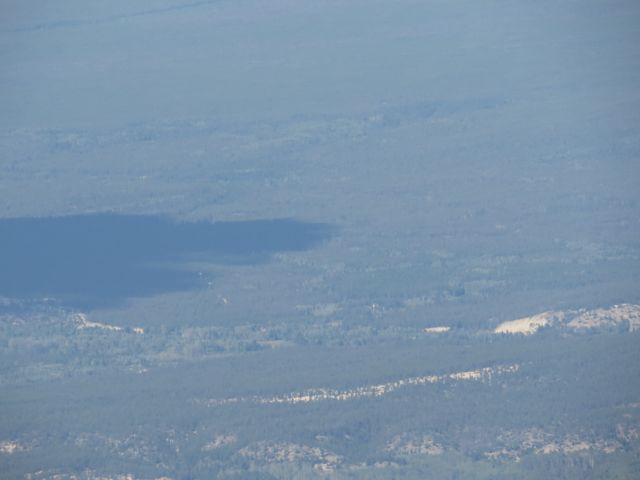 Hunting through the panorama to the north of Monarch Mountain, I could find the North Ridge, up which I have hiked so often at Nuk Tessli. It is pretty much in the middle background of the picture. I could recognize other peaks and ridges that were familiar to me as well.
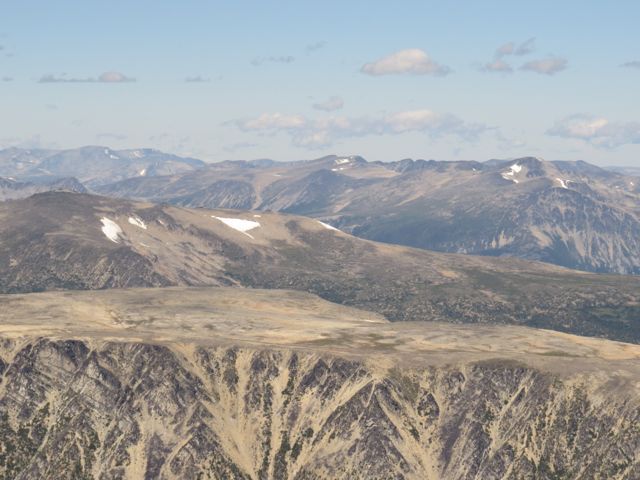 To it’s left, blued by distance, is Mt Ada, which I tried to cross one time but was turned back by a sheer drop-off.
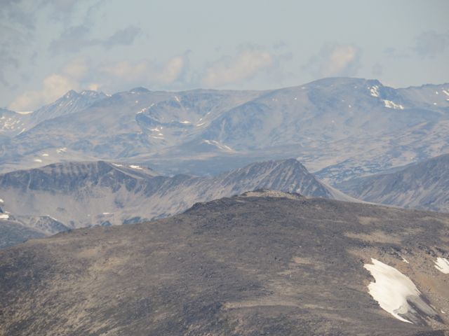 And to Ada’s left, is a slightly darker half dome (below) which was the dominant mountain overlooking my cabin at Lonesome Lake.
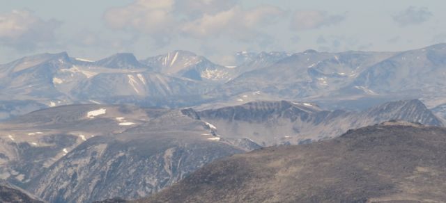 As I sat there, the hiking couple came passed me. I envied them the ease with which they covered the stony terrain. We had a little visit; I said my knees had given up on me. But I was still enjoying the day hugely. Sanjey, by now, had reached the last bit of the climb.
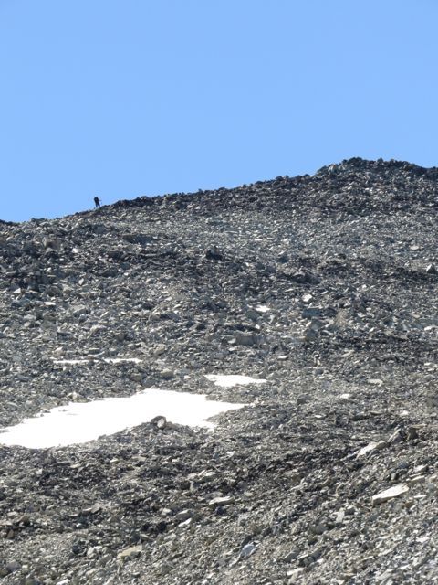 Here is the long view.
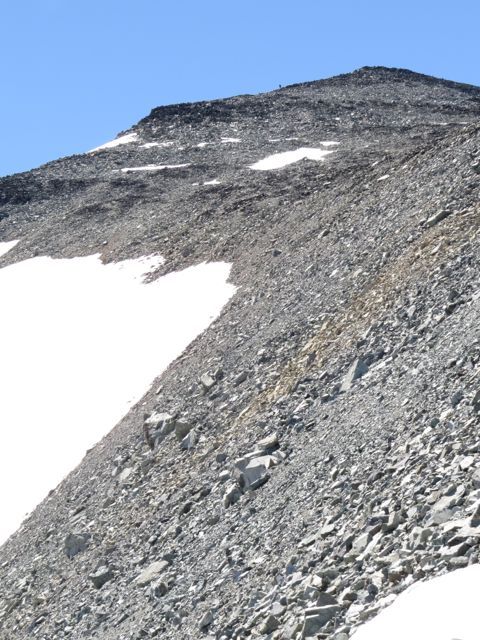 I decided to start picking my way down. I found a few more scraps of plants. Dwarf hawksbeard.
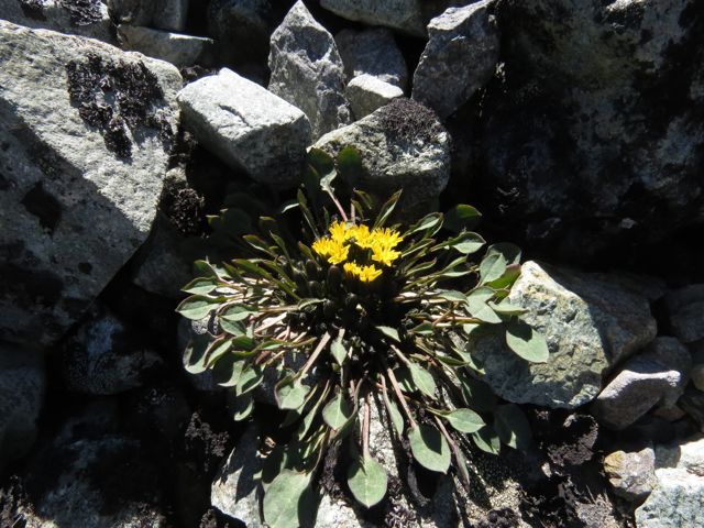 Arctic fleabane. What a precarious existence these plants lead.
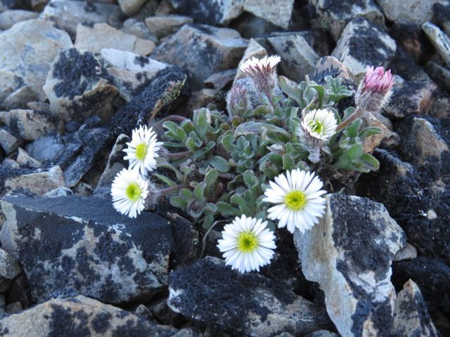 As Sanjey caught me up, I noticed the two microscopic dots near the lake on the left, that were the atv-ers heading down.
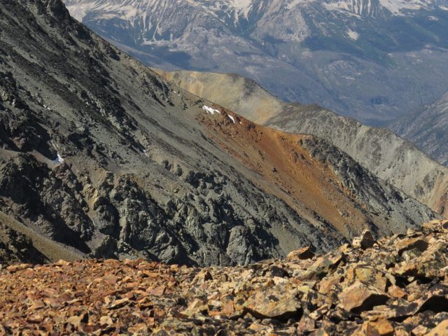
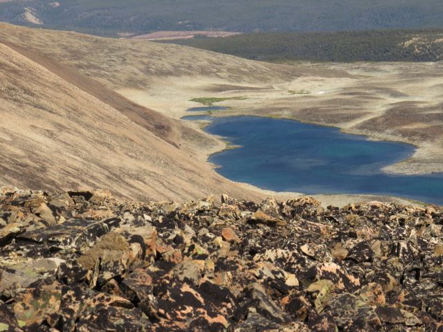 Sanjey and I traversed the stony ridge to the top of the mine road, figuring it would be easier to get down to the lake that way. The left side of the ridge dropped off precipitously and through various gaps, we could see more of the ice blue lake at the bottom.
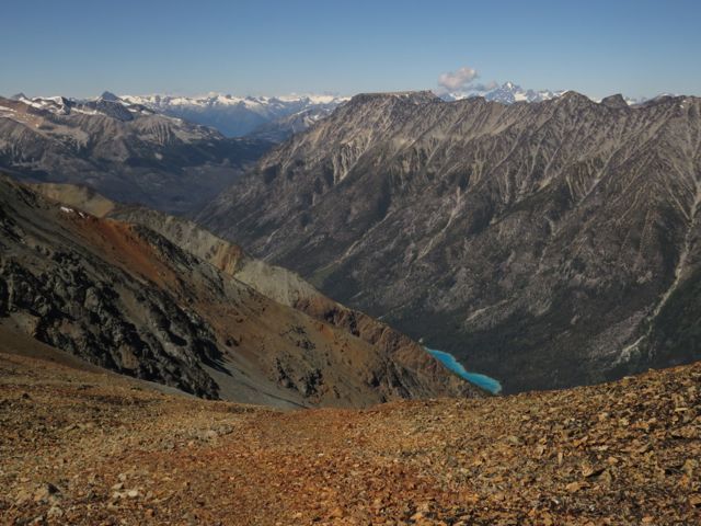 At last we hit the mine road and headed down to the lake. Walking downhill, and on roads, is always painful for me. I ignore it as I want to do these trips, but I have to go slowly.
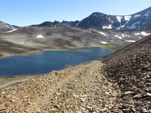 As we reached the lake, with still a stony couple of kilometres to go to the truck, I heard the sound of atvs. Imagine our surprise to see the couple we had encountered earlier. They had driven round to another lake, seen that my truck was still parked where they had encountered it this morning, had felt sympathy for my knees, and had come back to see if we wanted a ride!
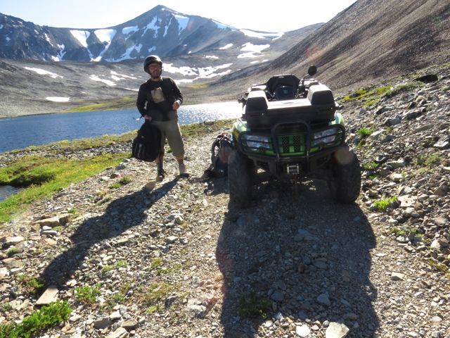 What a perfect end to a perfect day! Shannon even let Sanjey drive!
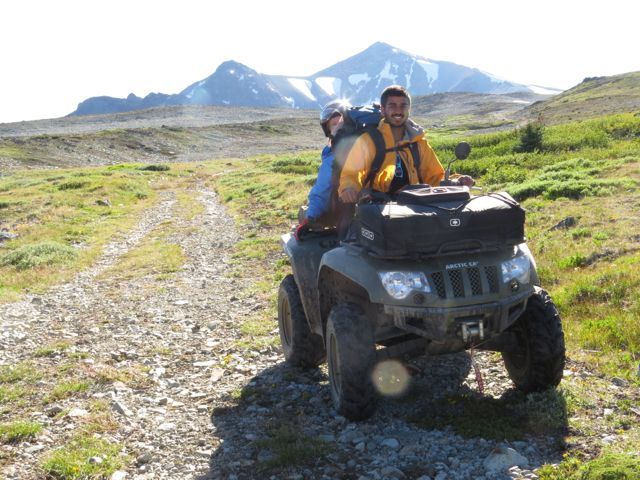 Sanjey has had a truly innovative time with me. First time using a chain saw, first time climbing a mountain, first time cutting up a chicken (he nearly threw up at that one) and first time driving an atv. I think this west Chilcotin experience will have changed his life!
And as for me – I was asked recently what I would do if I could no longer hike. My reply was “Get an atv.” I was sort of joking. Atv-ing for the sake of riding a machine has never appealed to me. But now I want one! My long-distant climbing days are obviously over, but this tool will get me into the alpine for many years to come. (I just have to be able to afford it.)